Enniskerry The end of the trail.

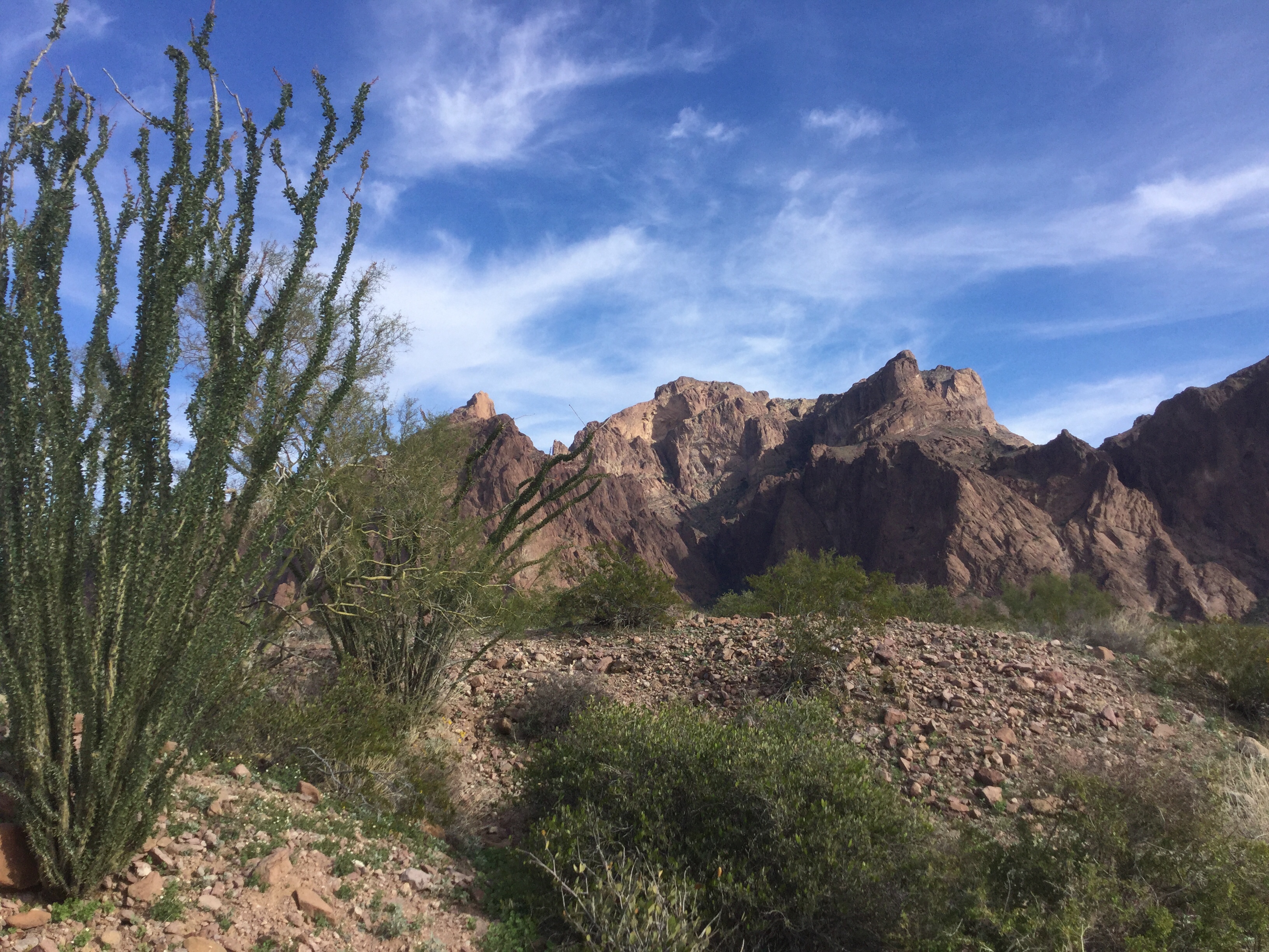
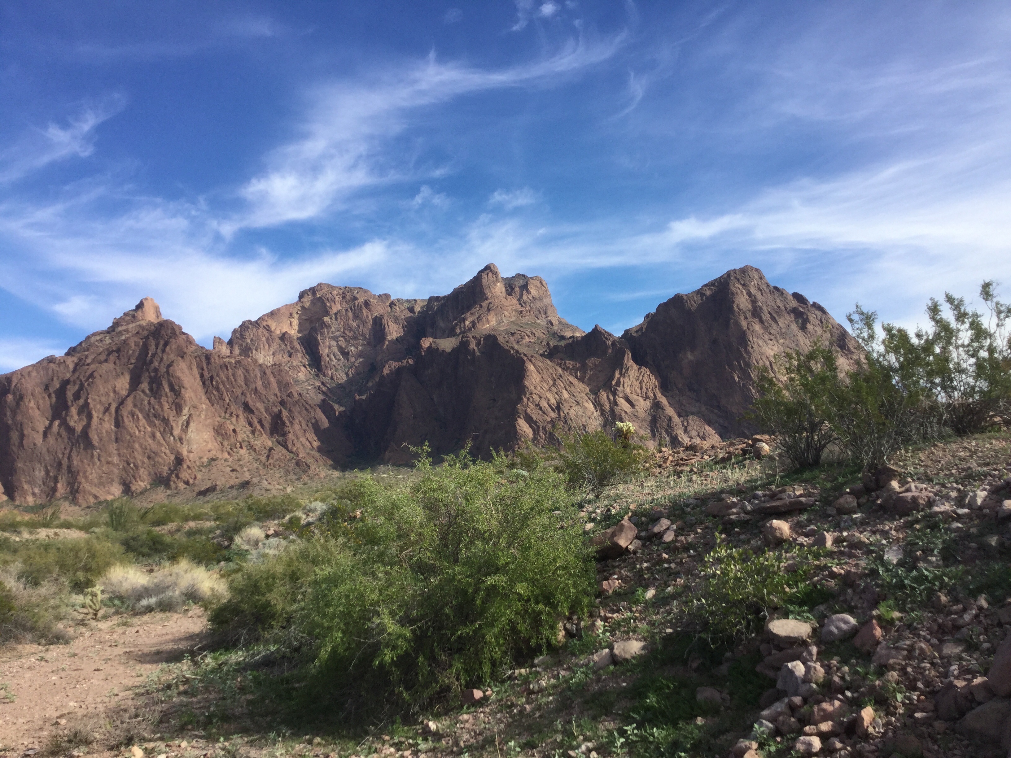
We finished the trail yesterday, and what a gorgeous day it was. We certainly saved the best for last, very spectacular views. Hope my pictures do it justice

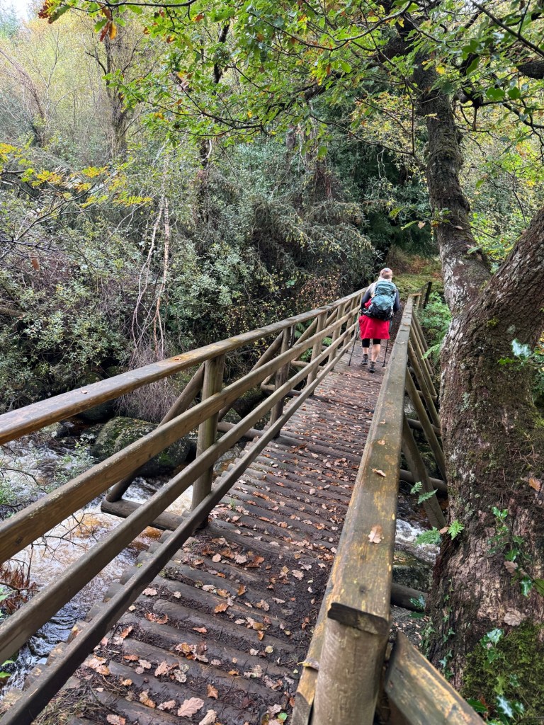
we spent the day with the knowledge that it was going to start raining at about noon. We had 24 KM to go and 800 metres in elevation.

We did not get into Enniskerry until 5 pm, and it still had not really started raining. Stormy, windy with a heavy mist, but no downpour, so we feel…. We got away with it.

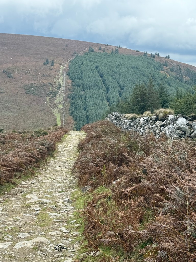
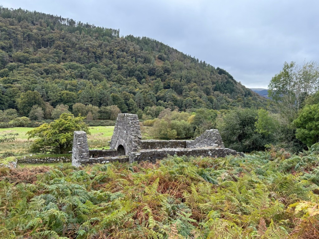
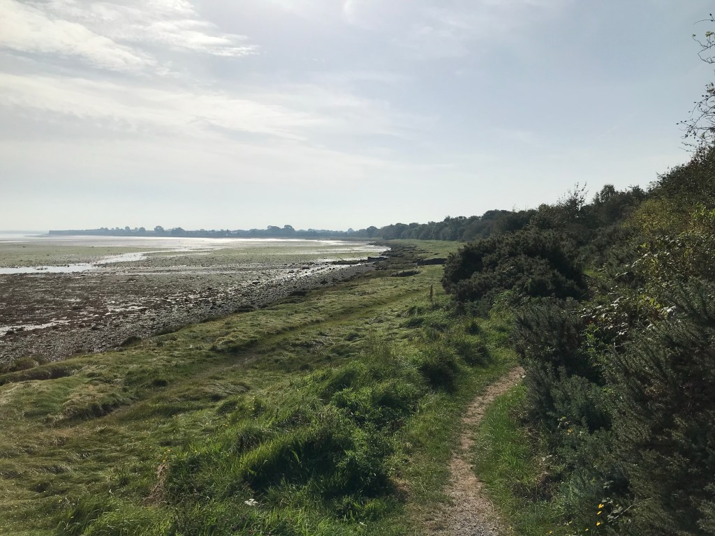
The last part we climbed and climbed and saw this at what we thought was the top….nothing…..ness.

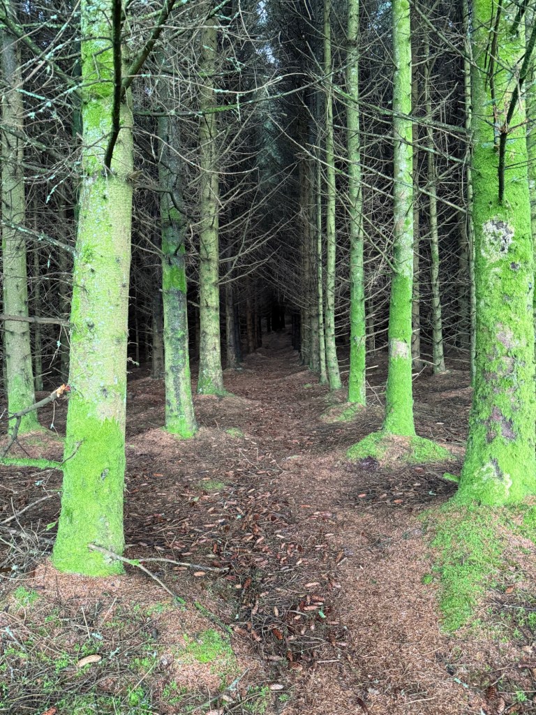
When the weather is like this it is very hard to know where the top is, which is likely a good thing, it was like more mountain kept appearing like an escalator going down while you are going up.

This is Lough Tay, also known as lake Guinness with its black colour and white beach at one side…can you see it?

Ken has been faithful about supporting the Guinness industry by having a Guinness draft each day. I guess no blog about Ireland would be complete without some information about Guinness. Guinness is a stout that originated in the brewery of Arthur Guinness at St James Gate Dublin in the 18th century. It is one of the most successful alcoholic beverage maker in the world.

So this all started in 1759 in Dublin where he signed a 9000 year lease at 45 pounds per year.

On a recent search I have made on google, I found at least 3 film representations of the Guinness family. One of which is called “the house of Guinness” and is streaming on Netflix.

I thought I would look up the Guinness connection in Canada

It turns out that the engineer interesting in building what is now called the Lions Gate Bridge in Vancouver (was first the 1st narrows bridge) convinced Walter Guinness to invest in the land on the north shore of Burrard Inlet. He purchased 4700 acres of West Vancouver mountainside through “British Pacific properties”. The Guinness family sold the bridge to the province of British Columbia in 1955 for 5,873.837, which was the original cost to originally build it.

There was a toll instituted by the Guinness family to cross the bridge, and this remained until 1963 Interesting since the Lions Gate bridge is likely as well known to Canadians as the Golden Gate Bridge is to Americans.

Back to Ireland……

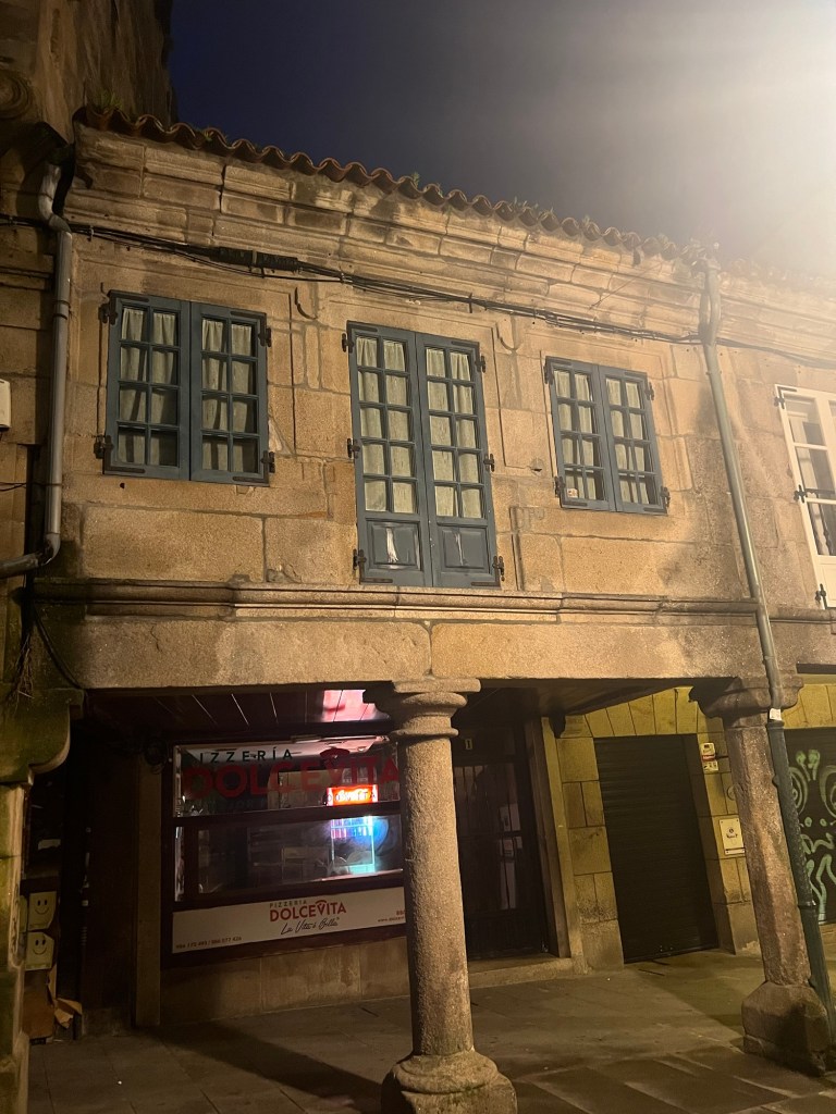
We are now in Bray drinking fancy coffees and the wind is howling with “storm Amy”. We got off the trains just in time

Warm and safe and cleaning clothes

Janet and Ken in Bray, Ireland

One more day on the Wicklow way…..

Well the past 3 days have been a bit underwhelming. We have had no more rain, The thing is that it is truly beautiful, large valleys lined with big healthy trees is kind of like what I look out at every day at home. I can see why others would find it more striking than we might…but we live in the forest.

So it is hard to wrap my brain around anything interesting along the way….. In fact there ARE some differences in the logging practices. Although I do not know exact details, but it sounds like the countries of the EU all have a commitment to maintain a certain percentage of their land as forests. They all have different percentages, but each has a commitment to maintaining what they have.

There are certain financial incentives to allow part of your property to be planted in trees. They take about 20 years to harvest. They also seem to be planting a wide variety of trees, including deciduous trees. …. Which certainly is a good plan for forest fire control.

The trees certainly seem healthy.

Irish round towers…..found mainly in Ireland, with 2 in Scotland and one on the Isle of Man. They were originally used as bell towers. They are generally found in vicinity of churches or monasteries. The door of the tower usually faces the west doorway to the church. This knowledge,where towers exist, has allowed searchers to determine where the remains of churches are, without excavation.

These medieval buildings were part of an early medieval monastic settlement founded in the 6th century. The order was Celtic Christianity

The dissolution of monasteries was a set of administrative and legal processes between1536 and 1541, when Henry Vlll disbanded all catholic monasteries, convents and friaries in England, Wales and Ireland, seized their wealth, and destroyed their buildings. Much of the funds raised by these actions went towards Henry’s military campaigns of the 1540s

There was a similar process taking place in Europe and Scotland but led more by the mass discontent among the common people against the powerful and wealthy ecclesiastical institutions.

Personally I find it interesting that the roofs of these buildings survived all this time, made of stone rather than wood. It seems that the steep pitch is how they were able to make the roof of stone.

Saint Kevin who founded this monastery, was an interesting guy, should you choose to look him up

So today will be our last day on the Wicklow way, and we both feel in great shape after all of that climbing. We have climbed almost 3 KM in elevation over the 110 KM we have done, but most of it has been gradual, and it has seemed easier as we have gone along. I would say that this has been a great way to see part of the wilderness of Ireland, but we feel we that we have enjoyed in our past walks the small villages you go through, and people you see along the way. The isolation and the quiet would clearly be something that others might enjoy, but we live in isolation and quiet……. The getting to and from the trail to the lodgings have been complicated. Some places have worked like clockwork, others not so much. Yesterday was supposed to be our shortest day, but turned out as long or longer than the rest. The turn to our lodging from the trail was 2KM. And there were no amenities at the place we were to stay at, so we needed to go to Roundwood, a town also off the trail, but 4 KM in another direction. We phoned the lodging and were told we could get a ride from town. So we walked the 4 KM to town, had a wonderful lunch, wine, Guinness…. Got groceries and then phoned for ride back to lodging. The guy said no can do….. he could not give ride for several hours…; So we walked the 6 KM to the lodging. I guess we ARE getting into good shape. Then I tripped and fell into stinging nettles … and am STILL itching…

Not to end on a negative note….. This was in the Wicklow national forest and a display of the more common minerals in the area…kind of cool

Lots of love …Janet and Ken

water water water…..everywhere

After days of rain, LOTS of rain, water seems to be flowing everywhere, cool CLEAR water. There is something about deep clear water that always makes me stop to ponder, how nice it would be to jump in. The trails do not seem to be damaged, but then again, many of them have been here for hundreds of years. There IS evidence of repair from erosion in places though.

Yesterday was a lovely day, slightly cloudy but no rain. I guess the ground water is catching its way along all of the tiny creeks to the bigger waterways to the ocean now.

Every hike we have done we have had rain, I feel that any country that is experiencing a drought should invite Ken and I there to do a lengthy hike…

I always find it interesting how water is diverted, collected and then directed with rock.

As rock hounds, I must say we have walked for ??200 KM so far over lots of rocks and we have seen nothing of interest to us. it seems as thought it is just granite everywhere. There ARE interesting things they seem to do with granite here, they seem to use it where we might use treated lumber. They seem to make fences and stakes for grapevines with granite… certainly will last longer.

I am guessing, more granite here, less trees? There seems to be lovely forests, but I guess logging is not as much of a thing if you have granite? Buildings made with concrete, or rocks, or bricks. There was a time change between Portugal and Northern Spain, even though we were just going north, so the sun is now rising at 8:40 and we are starting out at about 8.

So today we do that final 16 KM into Santiago de Compestela. Although we did a different Camino 6 years ago, we did not walk into Santiago, as we had become quite ill 3 days prior to our arrival, so we had to take a bus into the city. So, fingers crossed today we hope to walk into the city.

so talk soon

Janet and Ken

Hadrians wall 2023

We have completed the first 16 miles of the Hadrian’s wall path……and need a day off 😳. All estimates were 10…. Maybe 12 miles and so we were not quite prepared for 16.

Oh, I did think about packing it in about 4 miles into the hike, everything hurt, and I was so tired. Then I remembered to start drinking water amazingly everything went away. I tend to never get thirsty, so I have to remember to drink. Some days I am so sleepy in afternoon only to realize I have had nothing yet to drink, water IS the energizer. We took a bus from Carlisle to Bowness on Solway, which is where the path begins. All on the bus were also hiking, and all quickly bypassed us. A father and son on bus had planned on hiking the whole Hadrian’s. wall in 3 days, of course they disappeared right away. As we got off the bus, so too, another group got on, having just completed the hike, going from east to west. I guess that will be us in a week at WALLSEND, on the east end.

Josh is down in Liverpool and taking a train to meet us here in Carlisle tonite. Josh’s birth father lives in Liverpool.

We did the Camino several….maybe 6 years ago and we are looking at similarities and differences. Not sure if it is age, memory or distance, but this seems much harder than the Camino was. I do not remember the daily distances we did then.

There ARE characteristic signs to follow, signs you grow to seek out and find comfort in. The Camino was a shell, and we have not yet ‘sorted” what these signs are, either an acorn, or a helmet. Speaking of helmets…..This is King Edward the 1st, who was killed in battle by Robert DeBruce……. Apparently he took off his helmet (a plug to wear helmets 😒

The walk began somewhat boring, along roads and paths near roads.

We walked along Solway bay, but there were many signs warning of soft shifting sands, in the low tide, so we did not venture onto the sand, despite evidence of rocks out there. We figured it was a devil we are not familiar with. The second half of the day was much better walking along trails through fields, and we had LOTS of company.

We stopped for lunch on the side of the road, and later at the Greyhound Inn for beers and a chance to fill up our water camelbacks.

We did happen by some elder graveyards, and thought that this seemed a rather unceremonious end documented. Made me ponder how the end of the “current” empire shall be memorialized.

Hadrian’s wall was constructed 2000 years ago and very little remains of it,and we have yet to see any of the “wall”. However this church and graveyard apparently sits ON the wall, the only graveyard to do that.

Well that is a brief summary of our first day.

Thanks for reading, Janet, Ken and Tucker, whom we miss SOOOOOO much.

In search of Palm Canyon…

Yesterday we decided to do a hike to find out where all these lovely stones come from, to a place called Palm Canyon, which is the only place in Arizona that native palm trees exist. The canyon is part of the Kofa mountain range.  To make a long story short, Volcano, volcano, 25 million years, then earthquake…..  then erosion.

img_2001

We have come back to this area, over and over, as it is so breathtaking…. but I can never quite capture this in my pictures with my phone, perhaps we shall get a new camera so we can share the beauty of this area with everyone else.  So if you look closely at the picture below you can see the windy road heading into the dark area at the centre of the mountains. It almost seemed to have a fairy tale feel to it, a windy road leading to a craggy rock cliff with a castle on it.  THAT is where we are going..img_1990

This is looking into the canyon from just outside.

img_4182

img_2012

So as you get into the canyon, suddenly everything becomes lush, and there are plenty of plants that we have not seen anywhere else. For instance, HOLLY, which we have never seen down here, and represented a whole new issue for Tucker. (can  you imagine walking on Holly with bare feet)img_2016

img_2032

img_2024

Well we climbed higher and higher up the canyon, in search of palm trees…

img_2021

img_2019

THEN the trail started to look more like this…. It essentially disappeared and we were just trying to find a way upwards.  It started to become more like rock climbing and there were a few places where we COULD have maybe used some rope…

img_2023

img_2028

It was starting to get a little scary… and I was thinking to myself that this hardly seemed the kind of trail that they considered mild to moderate in the brochure, and only suggested bringing water. We had seen NO sign of Palm trees, and the people who HAD been coming behind is never seemed to get any closer, they just went back. 🤔 🤔 🤔img_2034  So I said to Ken, this seems like more than a half a mile. He said that it HAD said a mile in.  So I pulled out the pamphlet and read it AGAIN.img_2033-1

It SAID about half way up the canyon (1/2 of a mile) there is a sign that says palms with an arrow point towards the palms.  WE HAD seen the sign, and thought it was pointing to where the trail led. So we hiked half way DOWN the canyon and found the sign and sure enough it was pointing up a narrow crack between 2 cliffs… to, sure enough, ….the palms….img_2037

So for certain you would have to be standing right there to see them. You go into the canyon from west to east, and this  little crack goes north. I guess it also explains how the trees survive there, they are  sheltered from all sides and they have this canyon pointing directly south.

img_2036

So we laughed all the way back to the parking lot.img_2039-1

img_2040

I have tried to include more “awake” pictures of Tucker, as so many people commented on how tired he looked. I was just taking a picture of every extremely uncomfortable place he seemed to fall asleep.

Another funny story of the day was the intense echoing you got in the canyon. When we were WAY up the canyon, we felt like we had microphones on.  Then part way down, Tucker barked at something, and we could not stop him from barking, because he kept hearing another dog. img_4181

Much love…. thanks for reading, Janet… and Ken and Tucker.