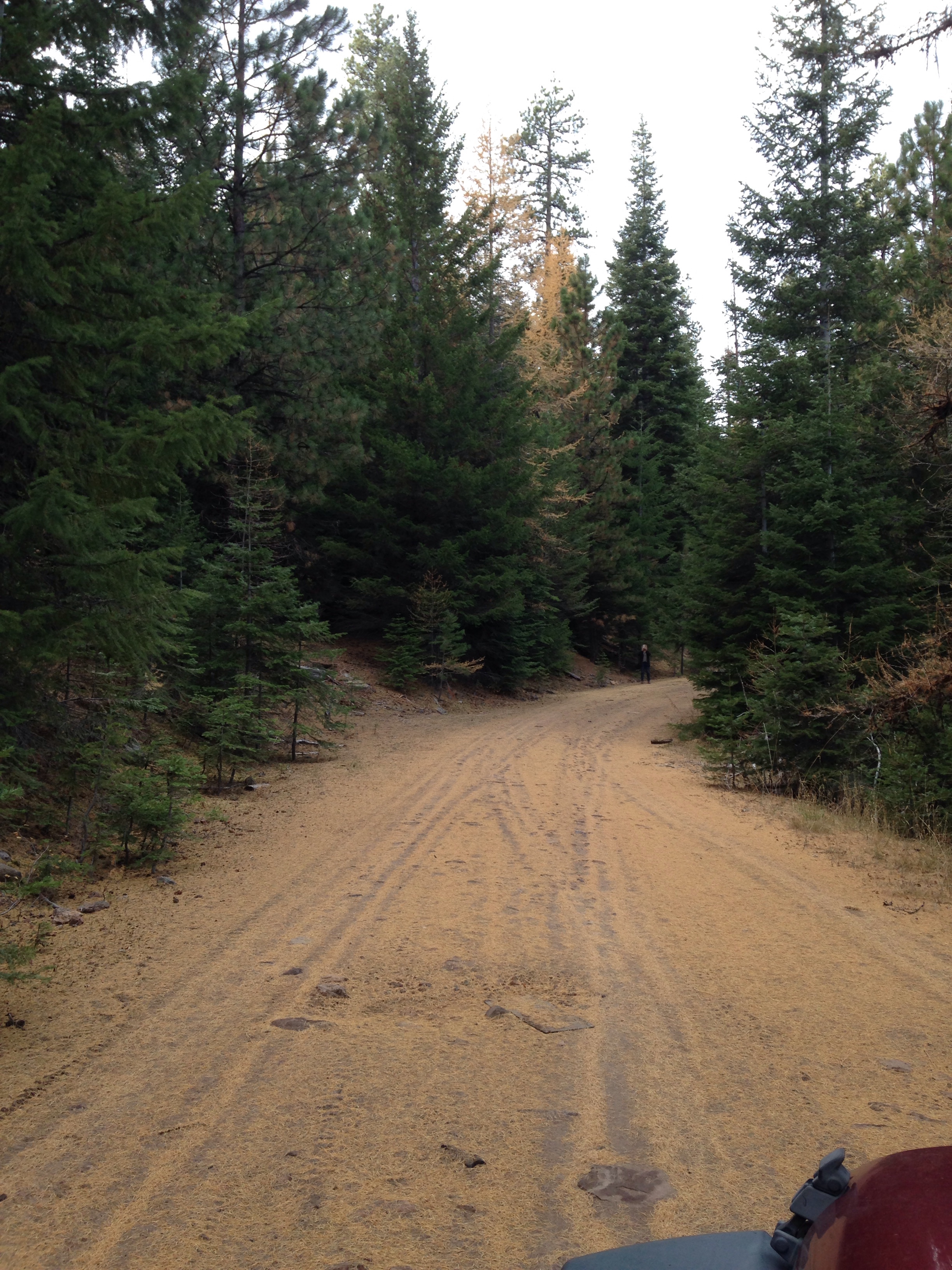
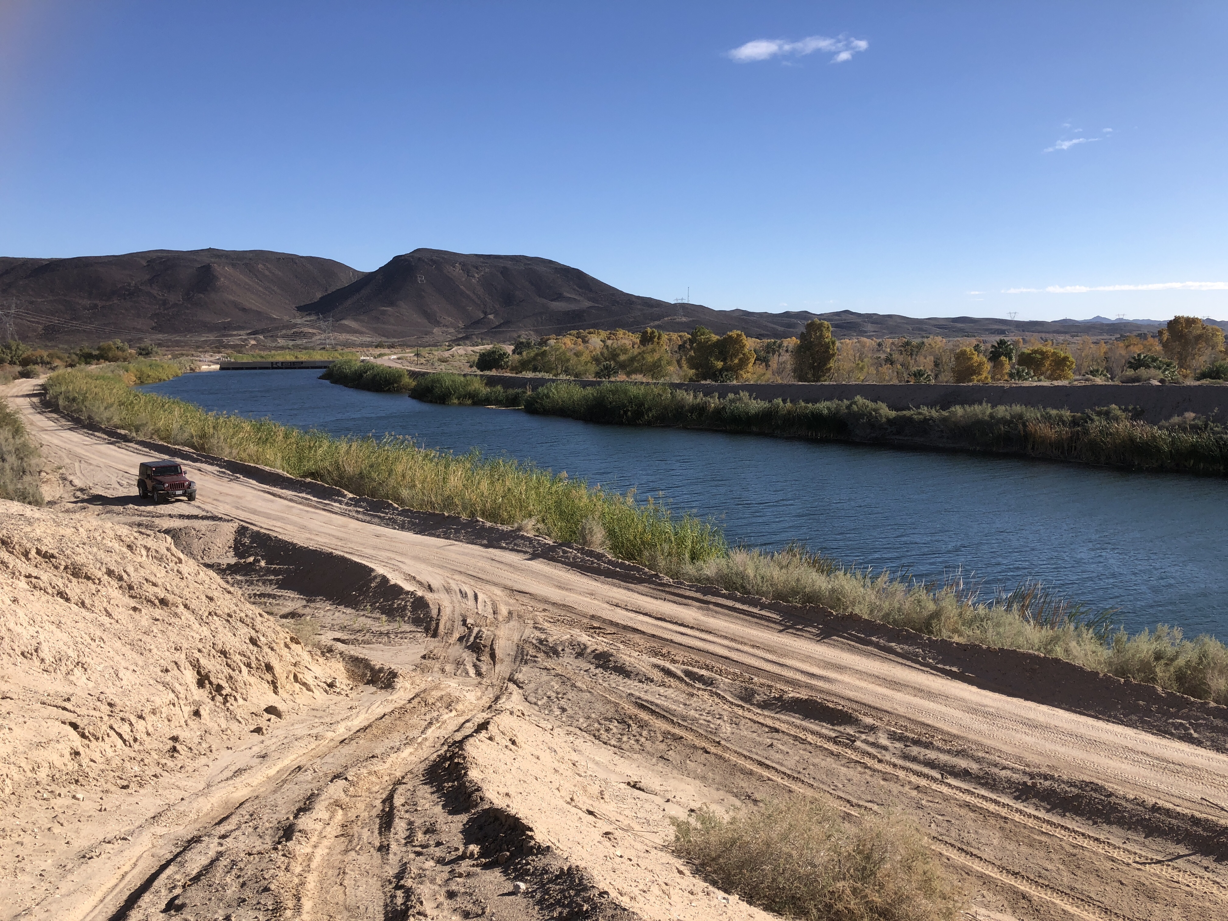
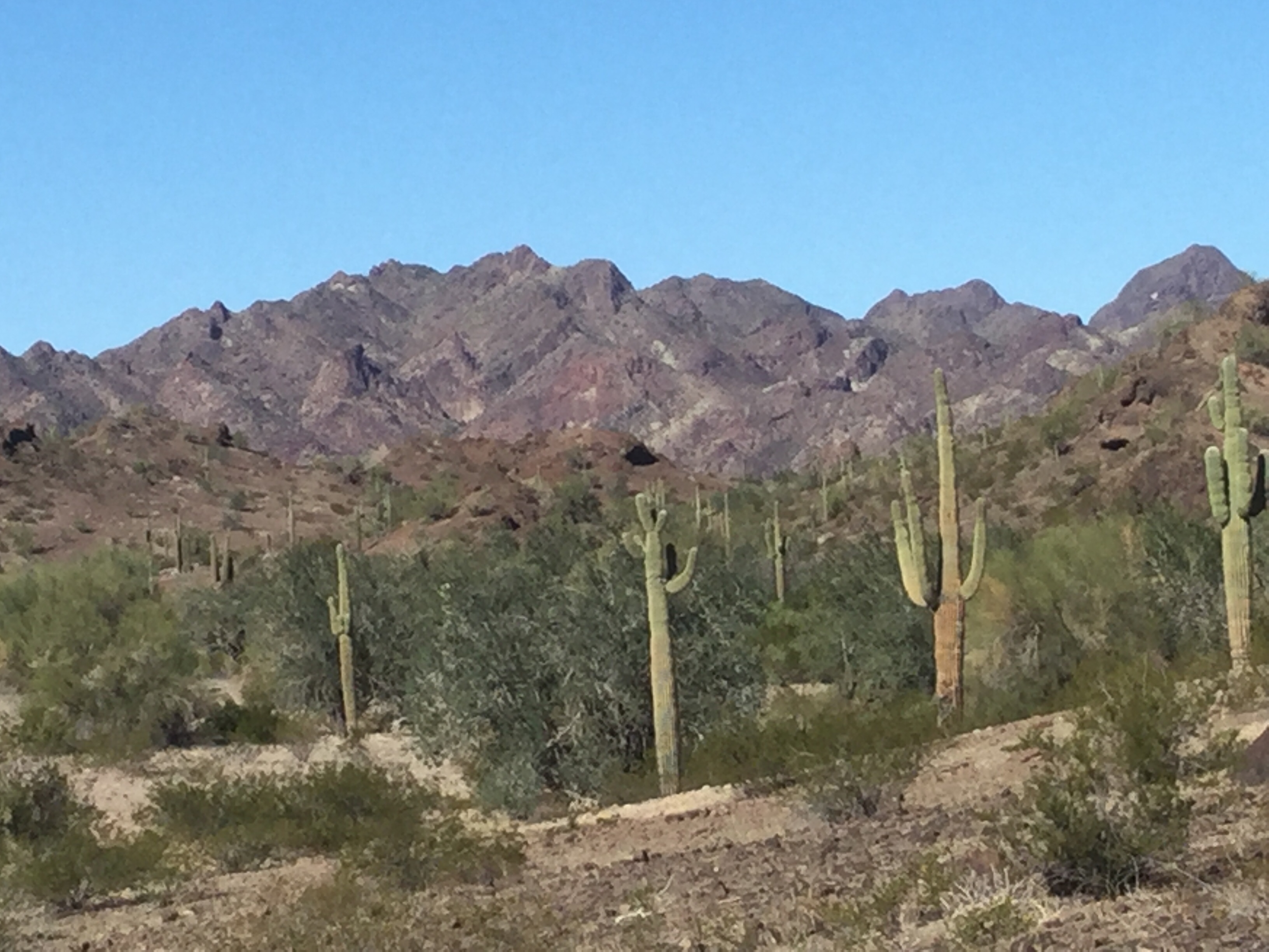
We are still just outside Yuma, at a place called Ogilby road, a vast desert that happens to flat enough to drive motorhomes for a long ways away from the road. The area is a place where many people seem to spend the winter. The area extends many KM in each direction, and there are absolutely no services. However the views are amazing and….. you can see Mexico from our kitchen window. 🫢
We have been doing this winter thing of travelling down here and spending about 5 days at each stop along the way for about 10 years now, and have decided to try staying basically in one place. We have the experience of many many place to have some idea of each and which places we like best. This is a picture I took last year from here.
We are about 10 miles outside of Yuma, being just over the border of Arizona and California, and a wee bit north.
Ken and I have a significant problem of not being able to be idle. We realize that this is a problem that many people solve soon after retirement, but we are still struggling with it. Although it might sound like a virtue, it really is not, we both wish we were able to sit still.
So we have decided to try spending the winter here. See if there is enough here to keep us amused, busy, and engaged. Funny enough, as soon as we decided that we have found we are much more “settled”.
There is a very “rustic” RV park about 4 miles from here, that actually was once the site where the troops were based to train (in WW2) to fight in Northern Africa. It is a place where once a week we can empty our septic and fill with water. It is also a wee bit of a museum.
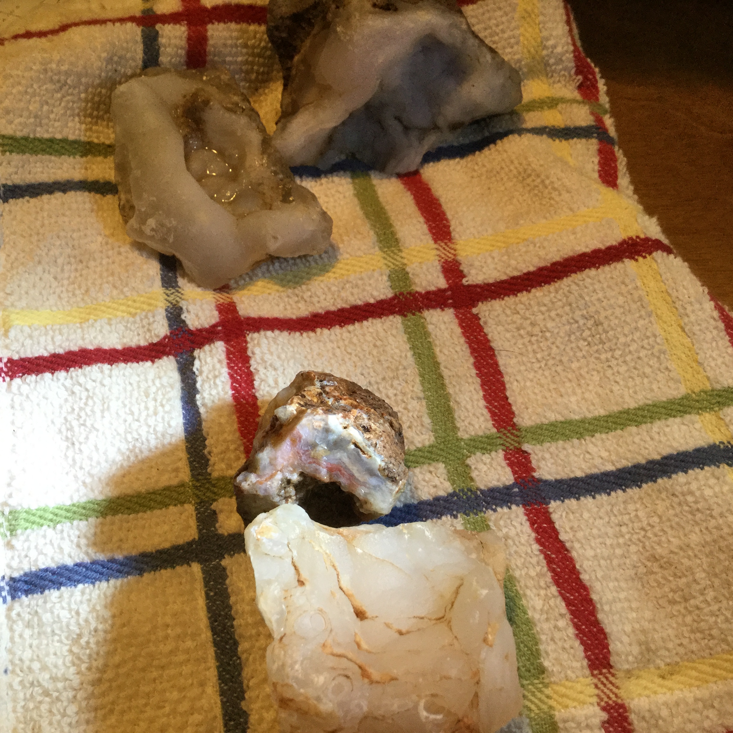
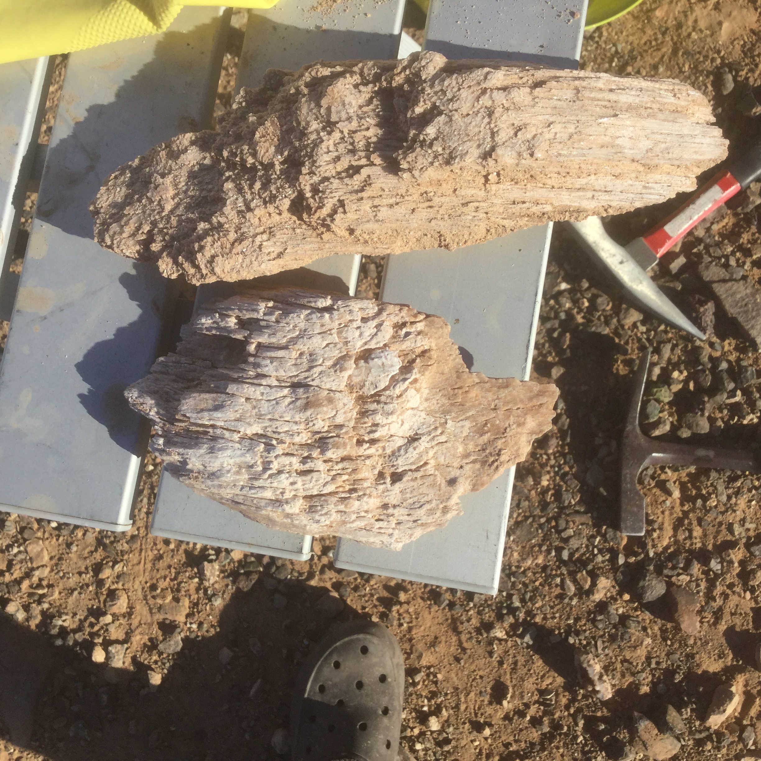
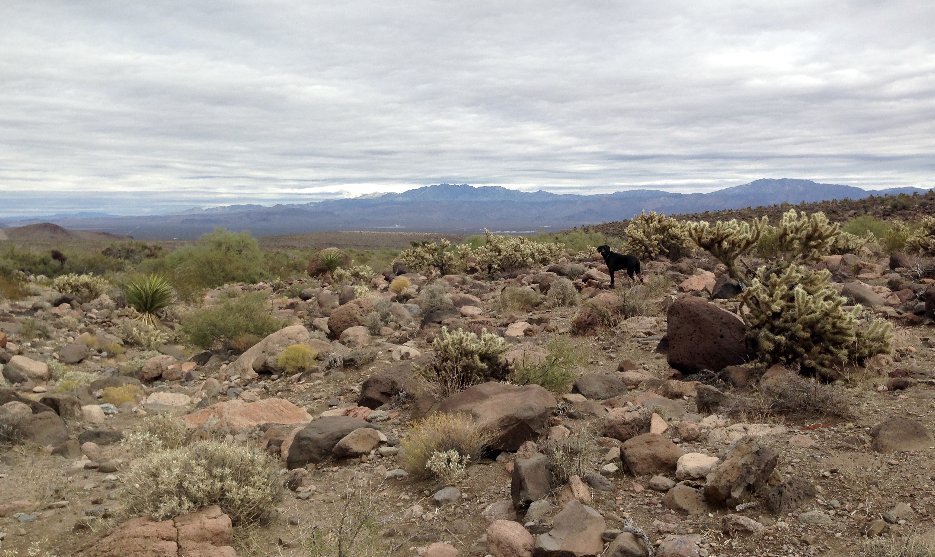
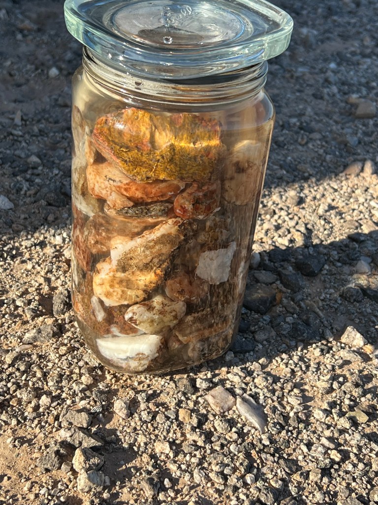
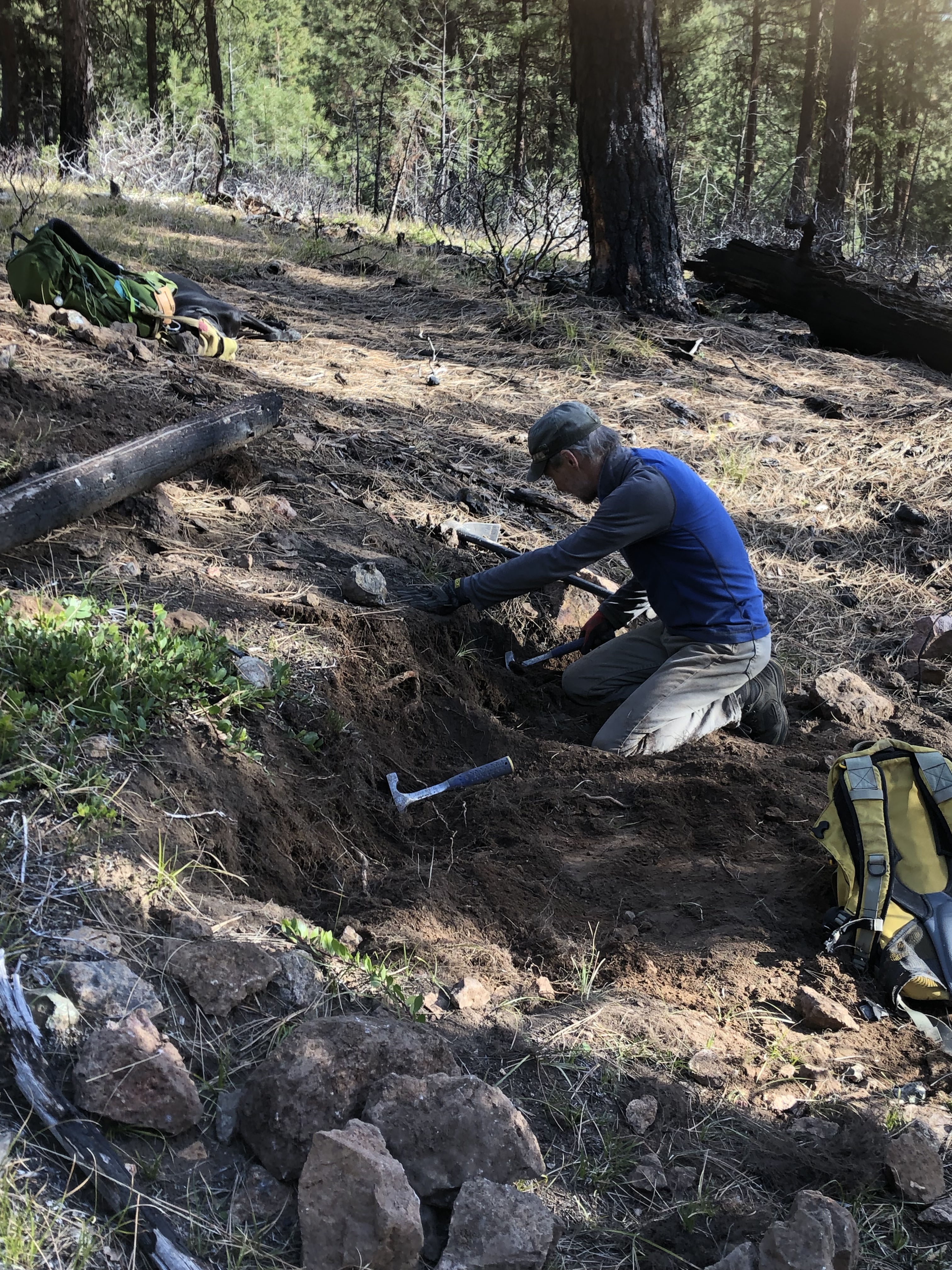
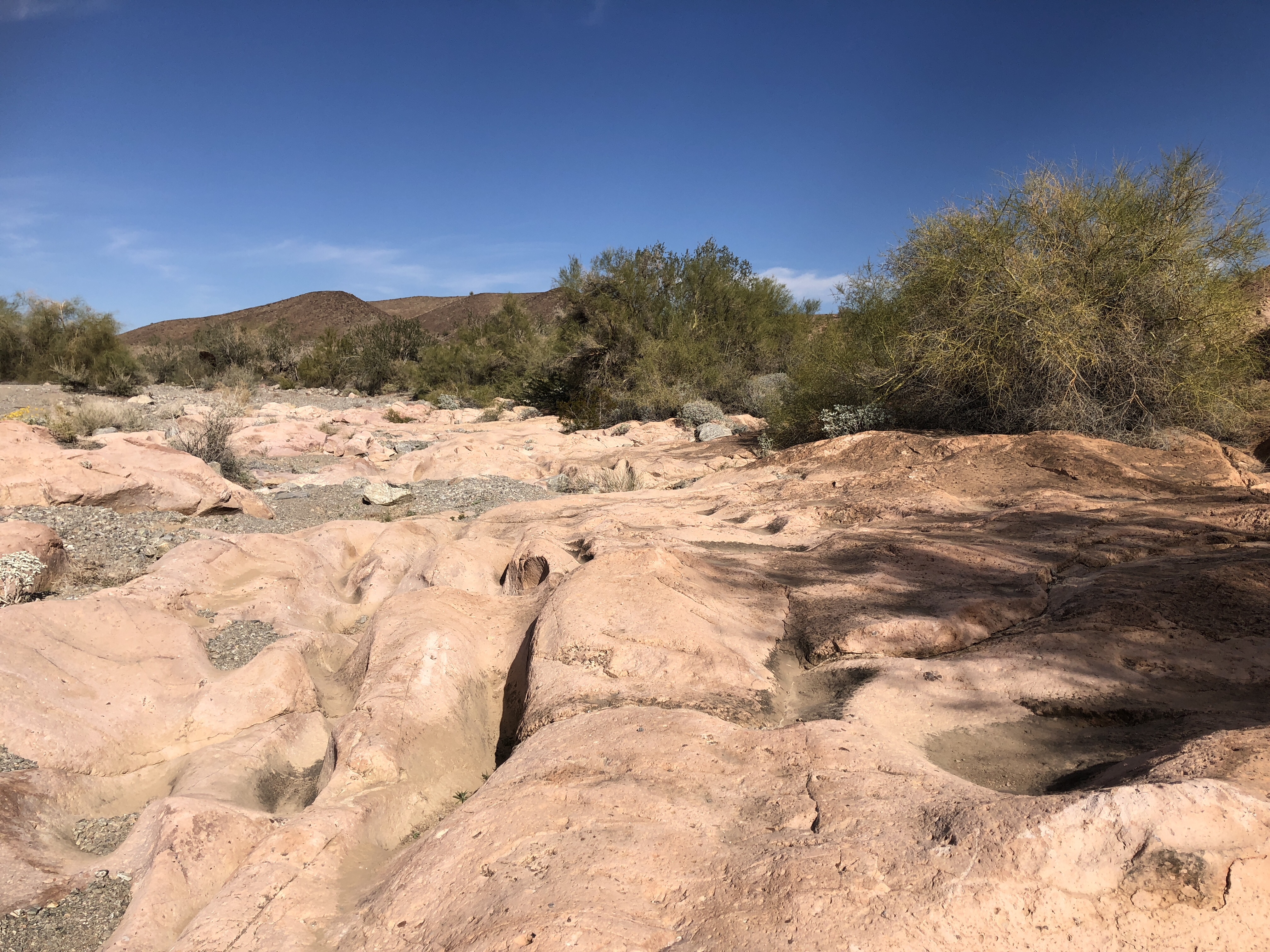
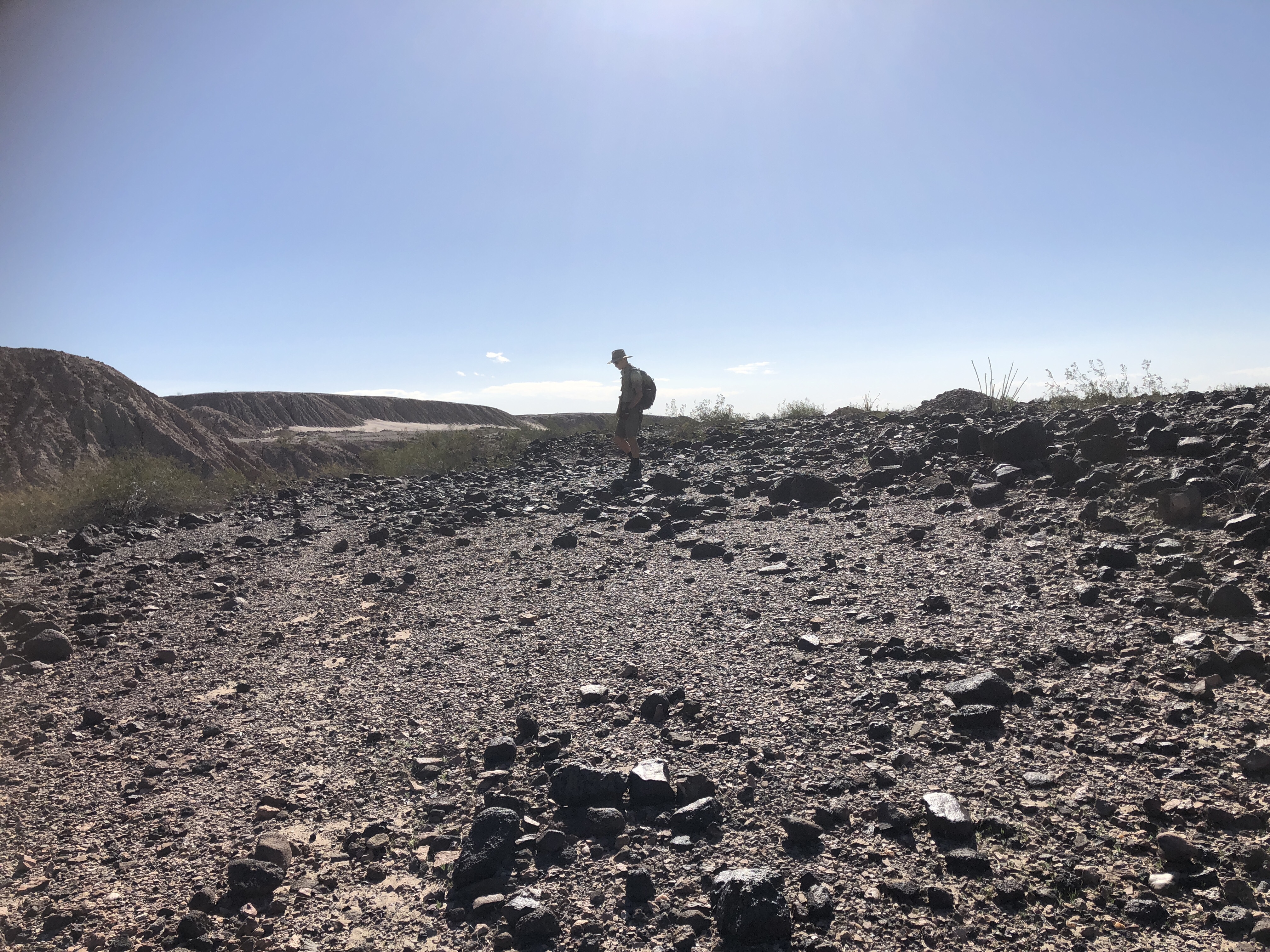
We have “sites” in all directions from here that we can wander a day away looking for rocks and being in one spot allows us to work on projects. This one is a way of “cleaning ” rocks. Citric acid is the acid from oranges and lemons and can be bought as a powder. And making a solution and soaking for 2 days, gets rid of the calcite and dirt on many of the rocks. Great fun.
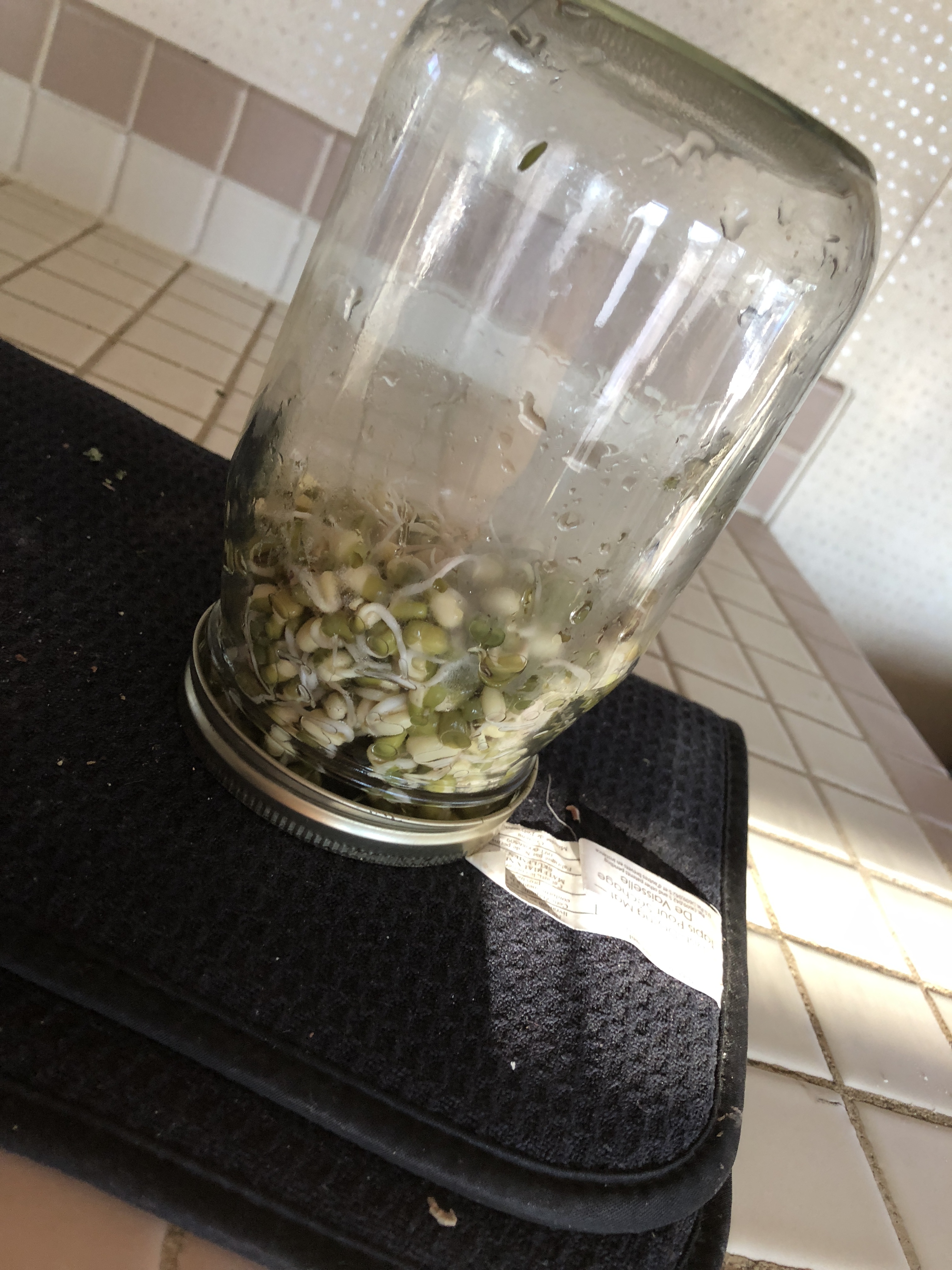
Another “project” this winter has been attempting to from basic in water. It really is pretty amazing as these “branches” were just taken from a bag of basil we bought at Trader Joes, so off of a plant for awhile before being in the store. I have since trimmed it, we shall see how it grows new leaves.

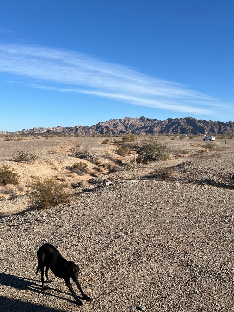
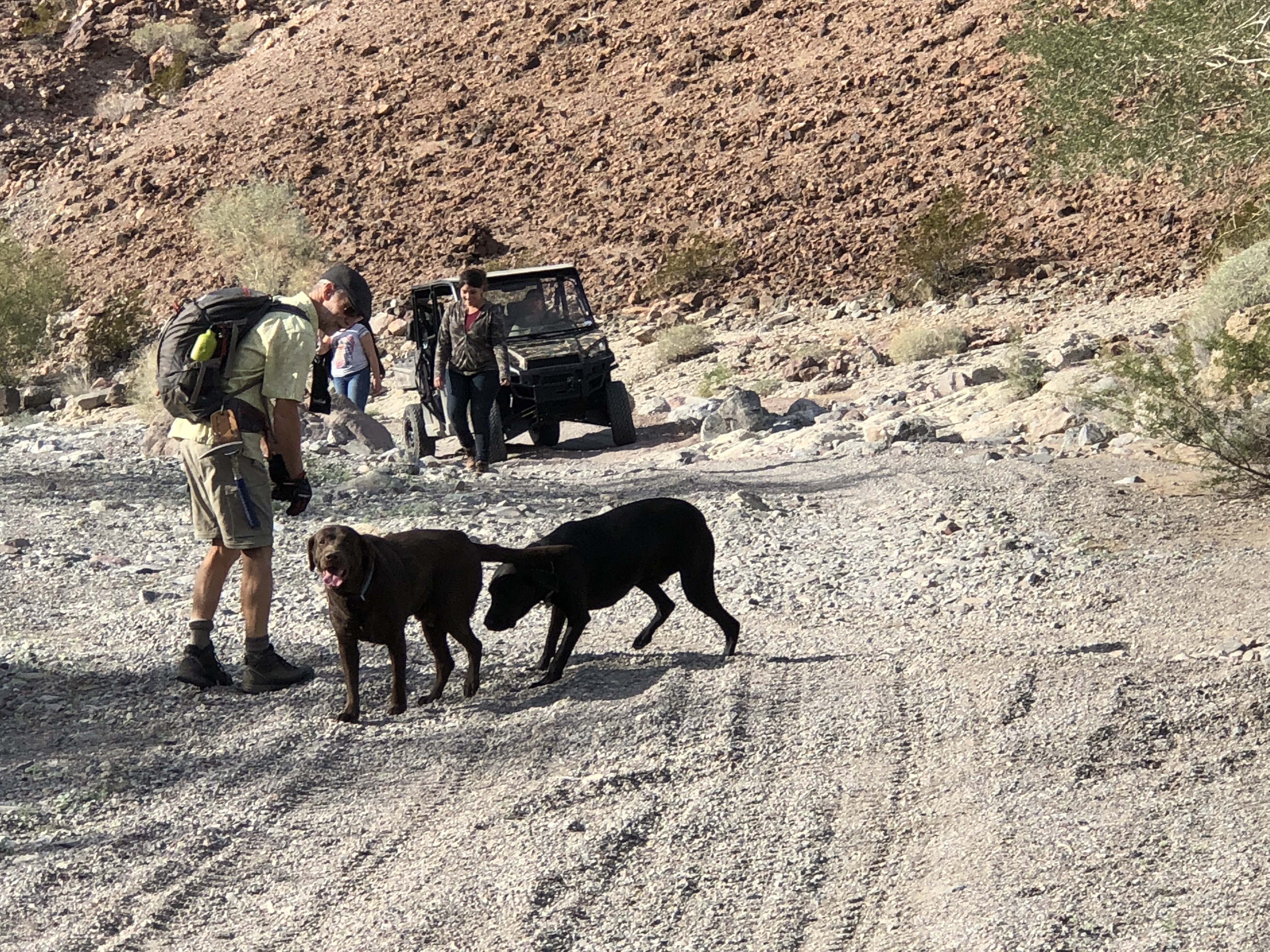
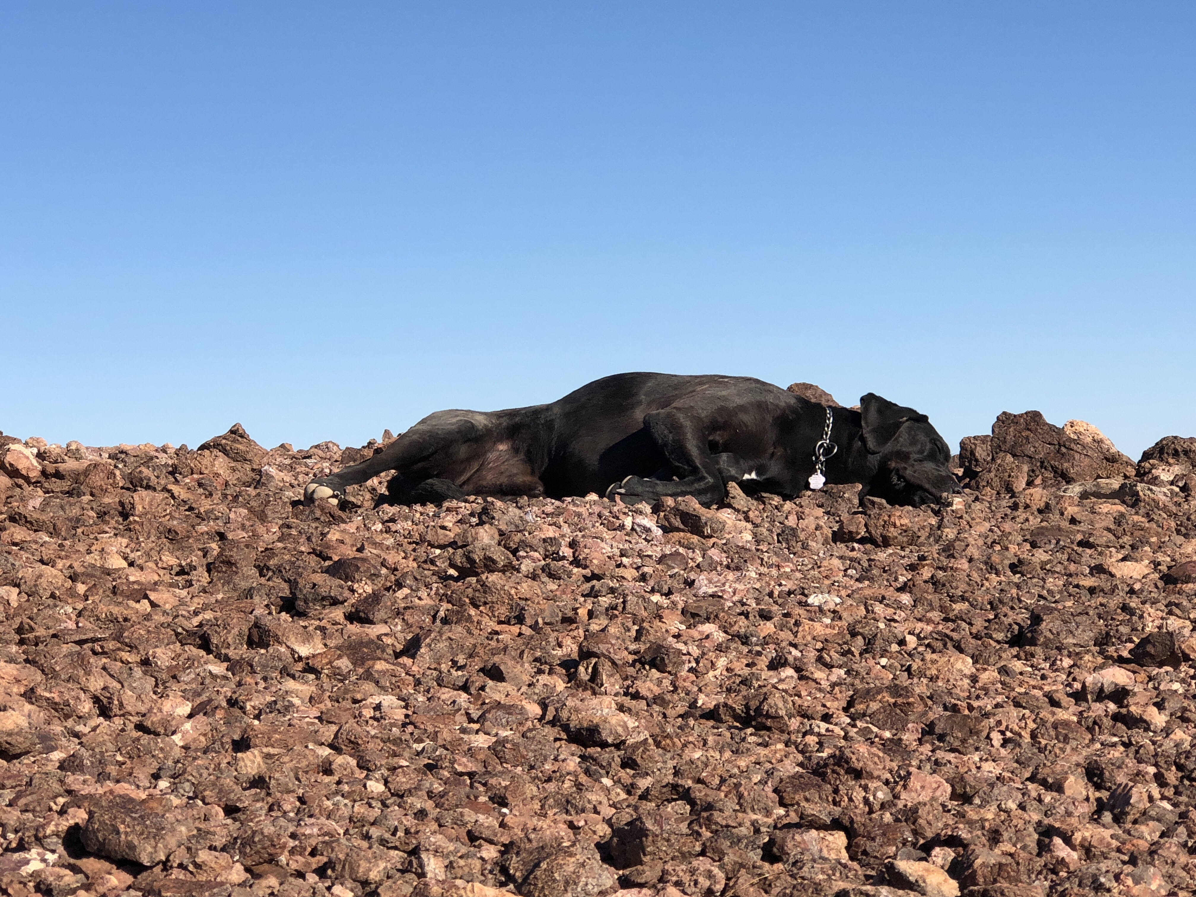
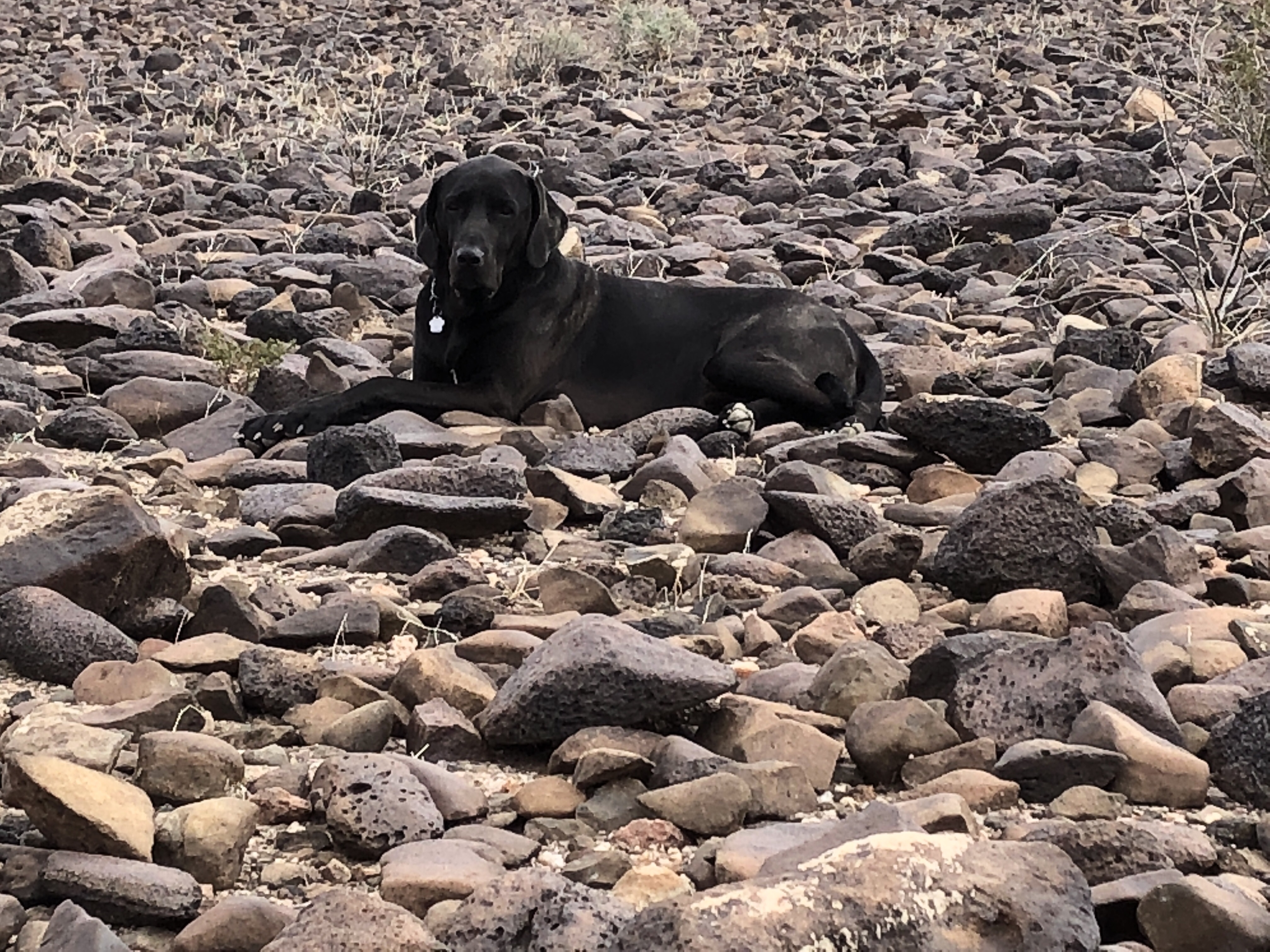
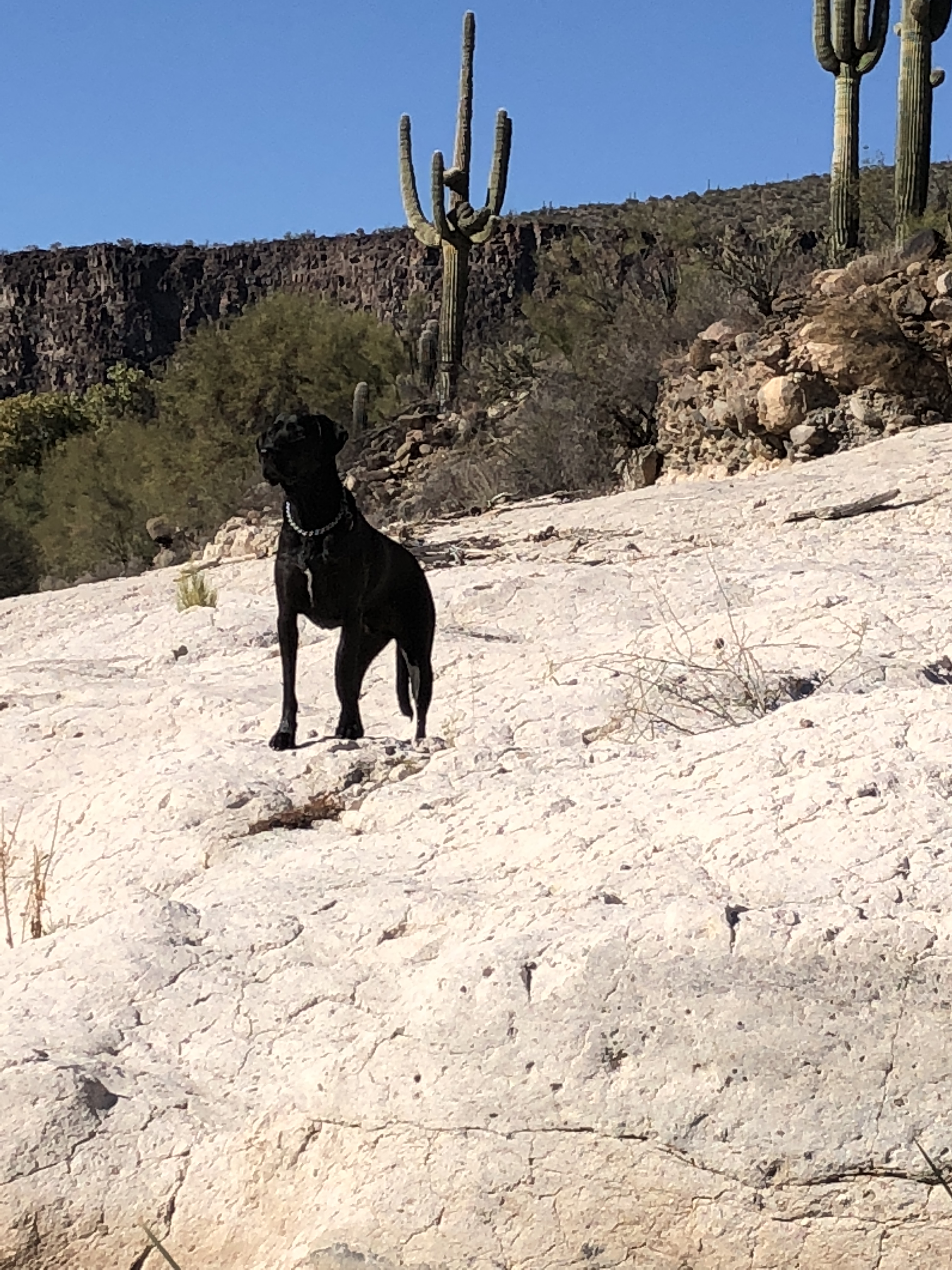
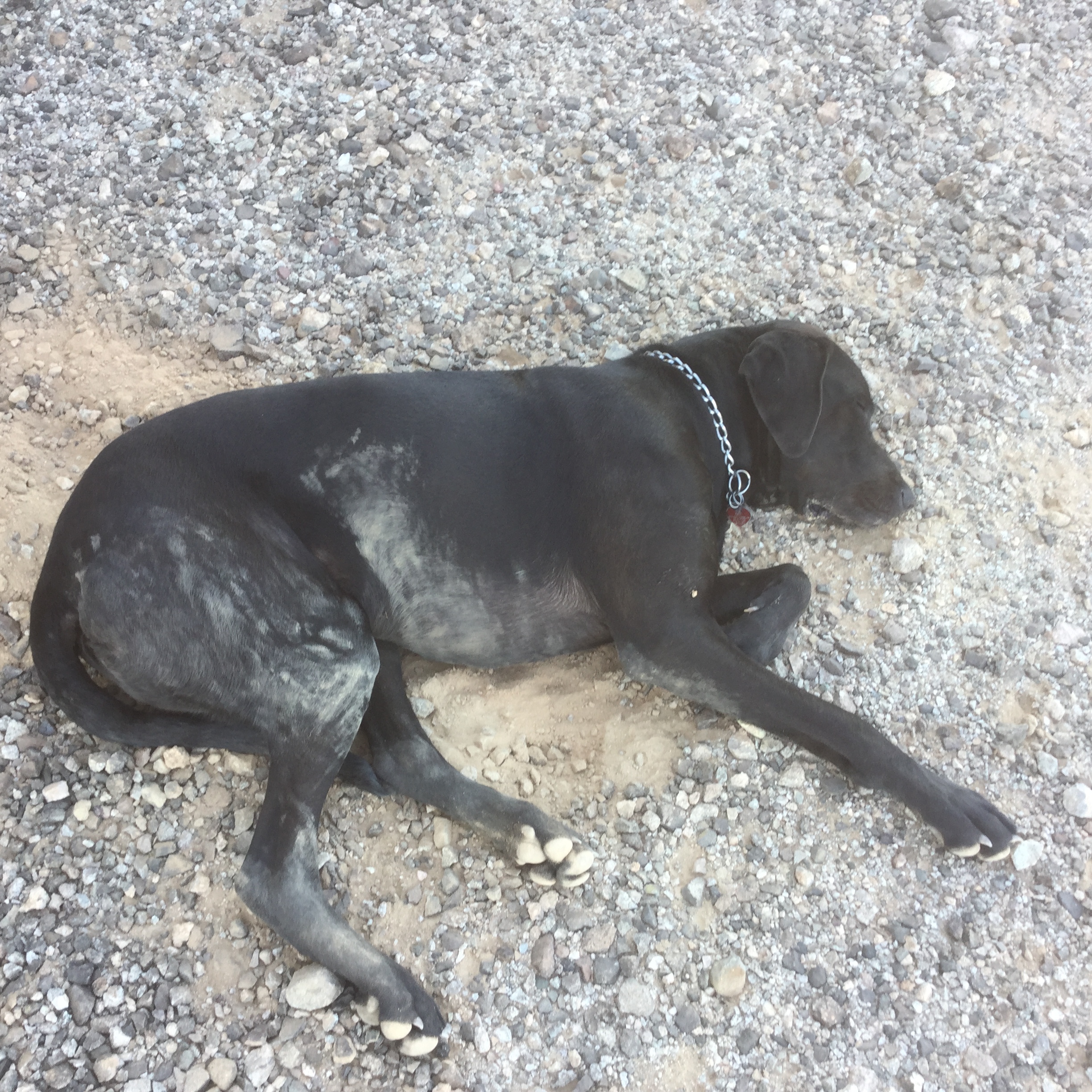
Oh and here is Tucker doing his Yoga “DOG” poses. Tucker loves this spot too.
OH and another new “project” is a bike for Ken
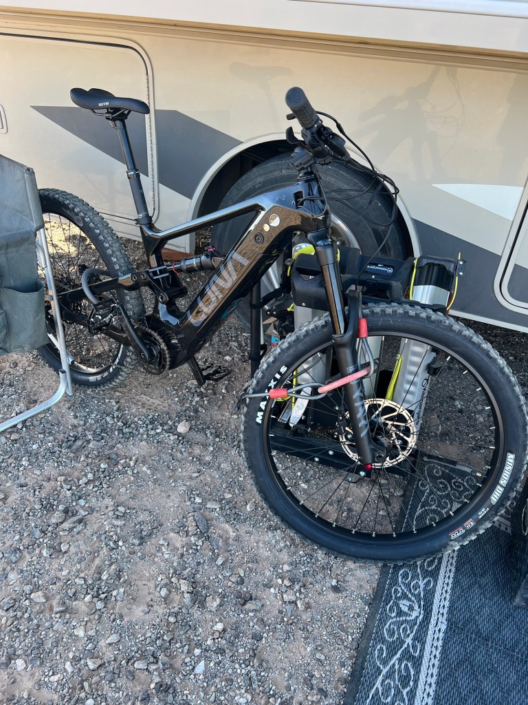
We have gotten well versed at how to Order and have delivered parcels for repairing motorhomes etc etc… So it was pretty easy to order a new bike and have it delivered to Calexico a few days ago. Calexico sits on the border of California and Mexico. It has an adjacent city on the Mexican side of border called Mexicali. Interesting play on partial names. Ken sold his Ebike last summer.
The very sad thing though that while Ken was putting the bike together is slashed 2 of his fingers with recently sharpened knives. (Ken is a very good and diligent knife sharpener)

This is a common scenario for us, however I am usually the one with the cuts………. chopping vegetables. The cuts are often significant, and might at one time been worthy of sutures, we are both pretty skilled at making good use of “steristrips” and keeping the area protected long enough for some healing to take place. We DO have a fairly extensive first aid kit.🩺
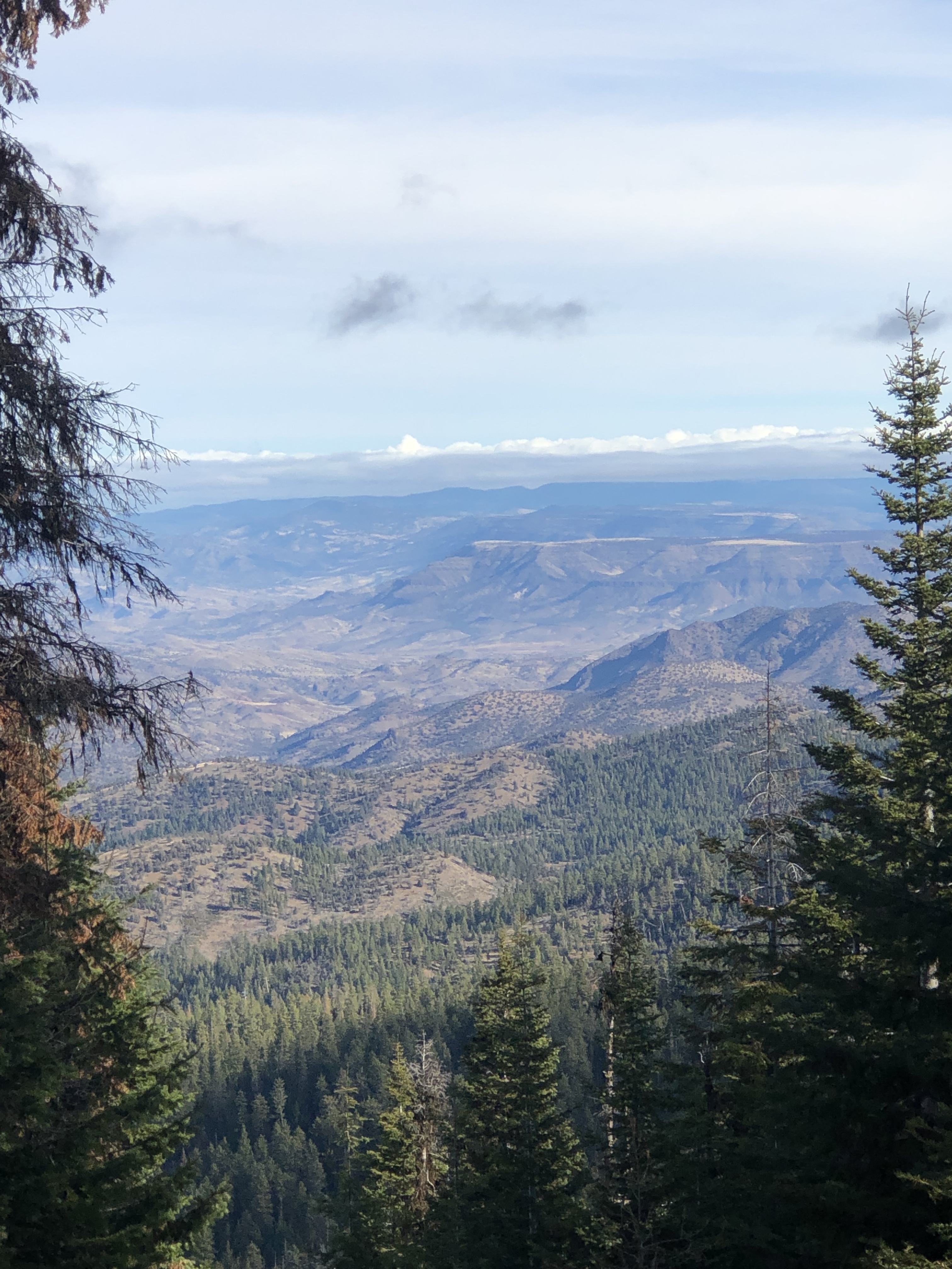
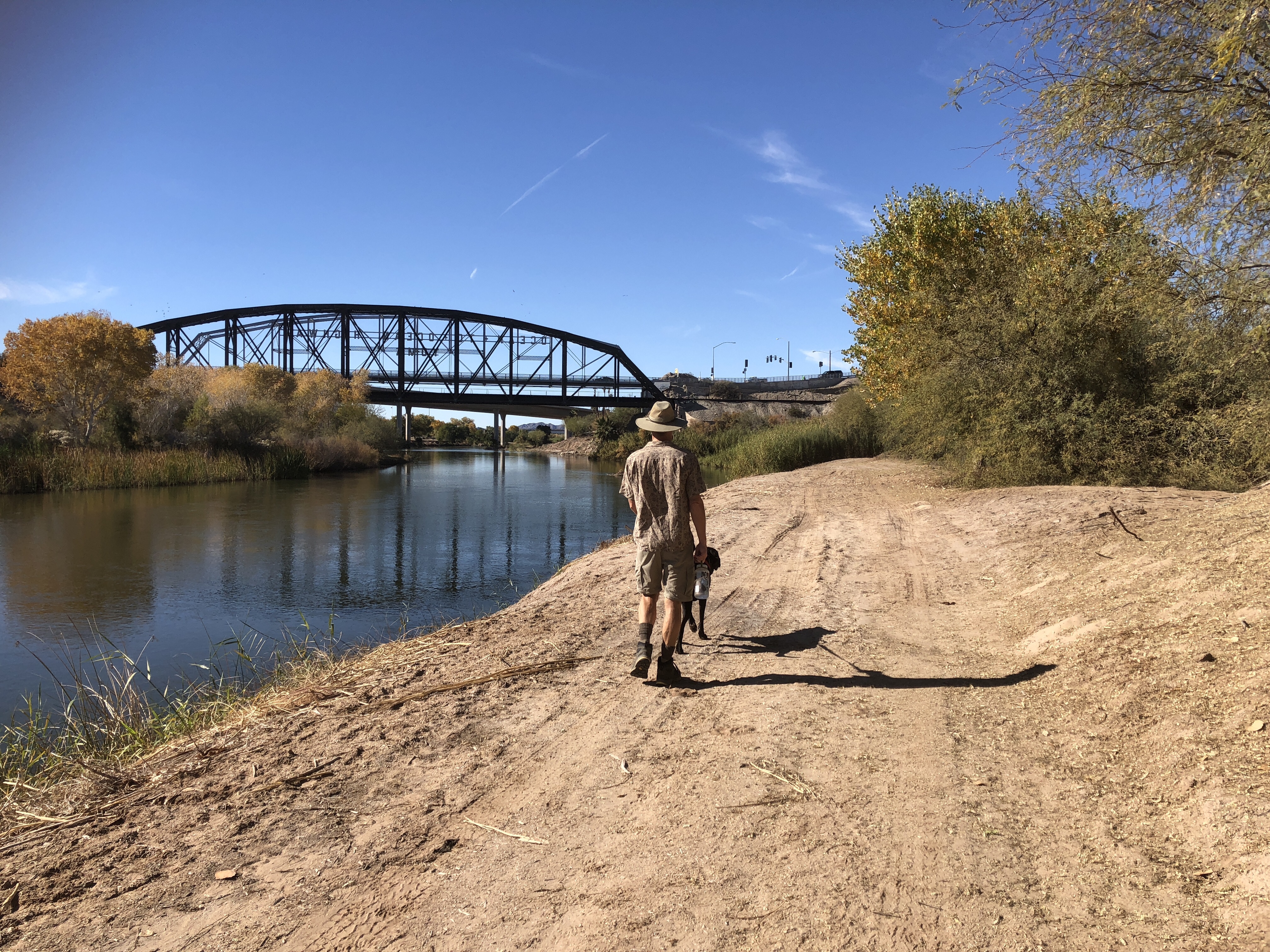
We are about 1.5 hours from Quartzsite, and have friends who stay there, and have great adventure ideas.

So there is our rough winter plan. A few little trips, but overall, not our usual major jaunt into New Mexico and Texas. Perhaps we are settling down.


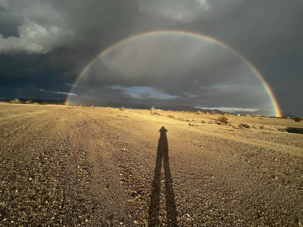
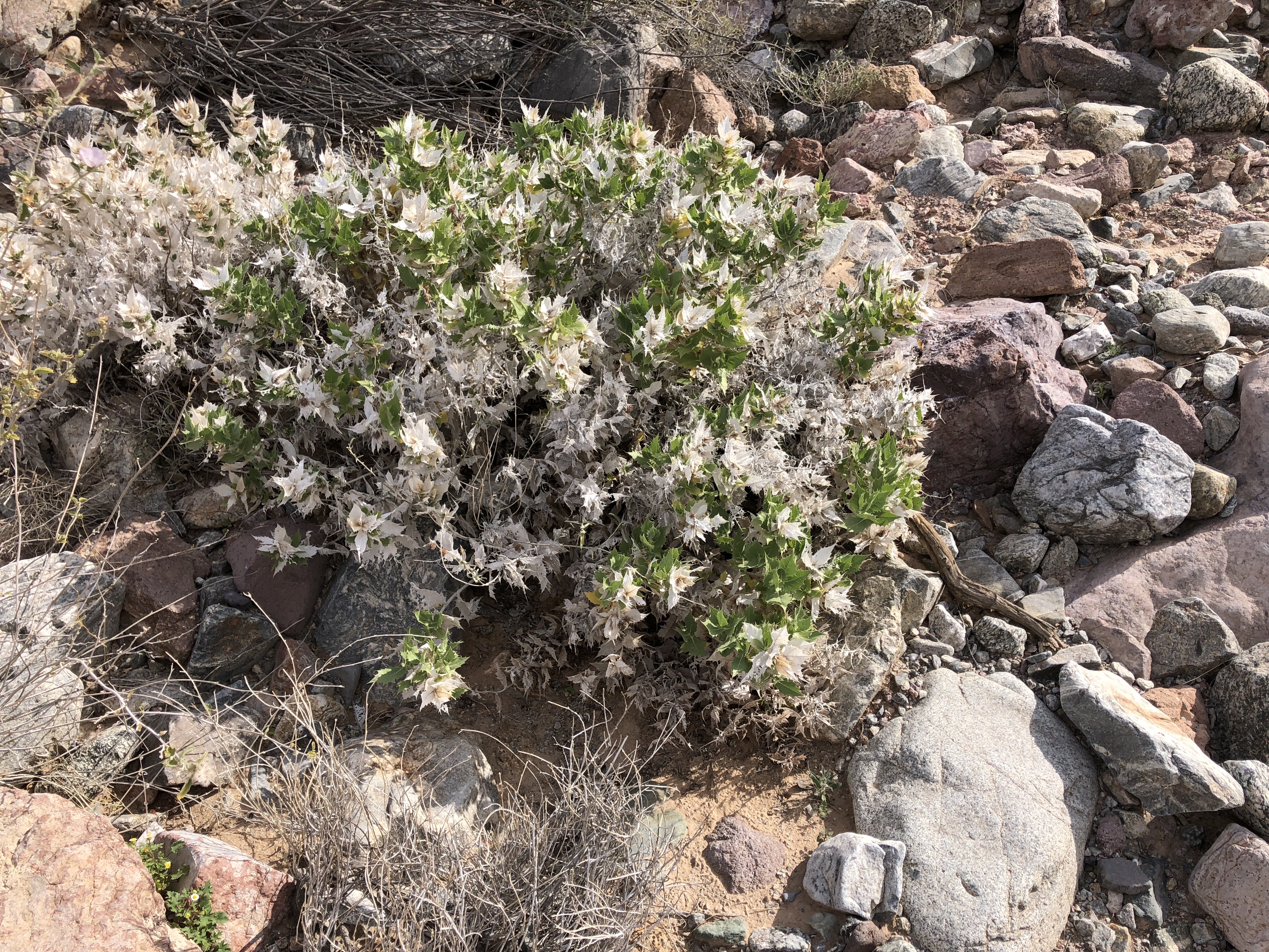
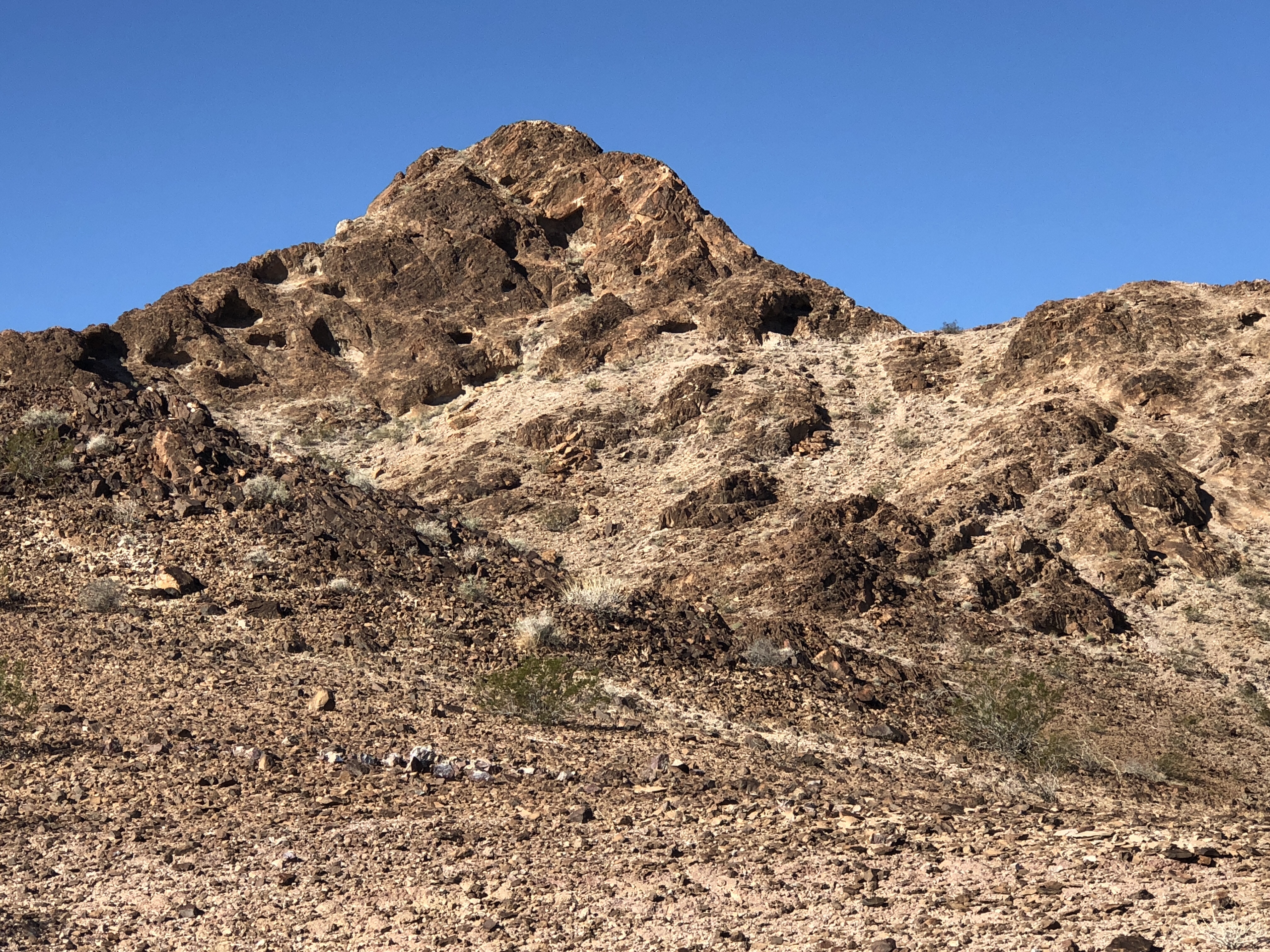
There are some truly interesting places close to here.
So Bye for now
Love Janet, Ken and our little yoga dog Tucker


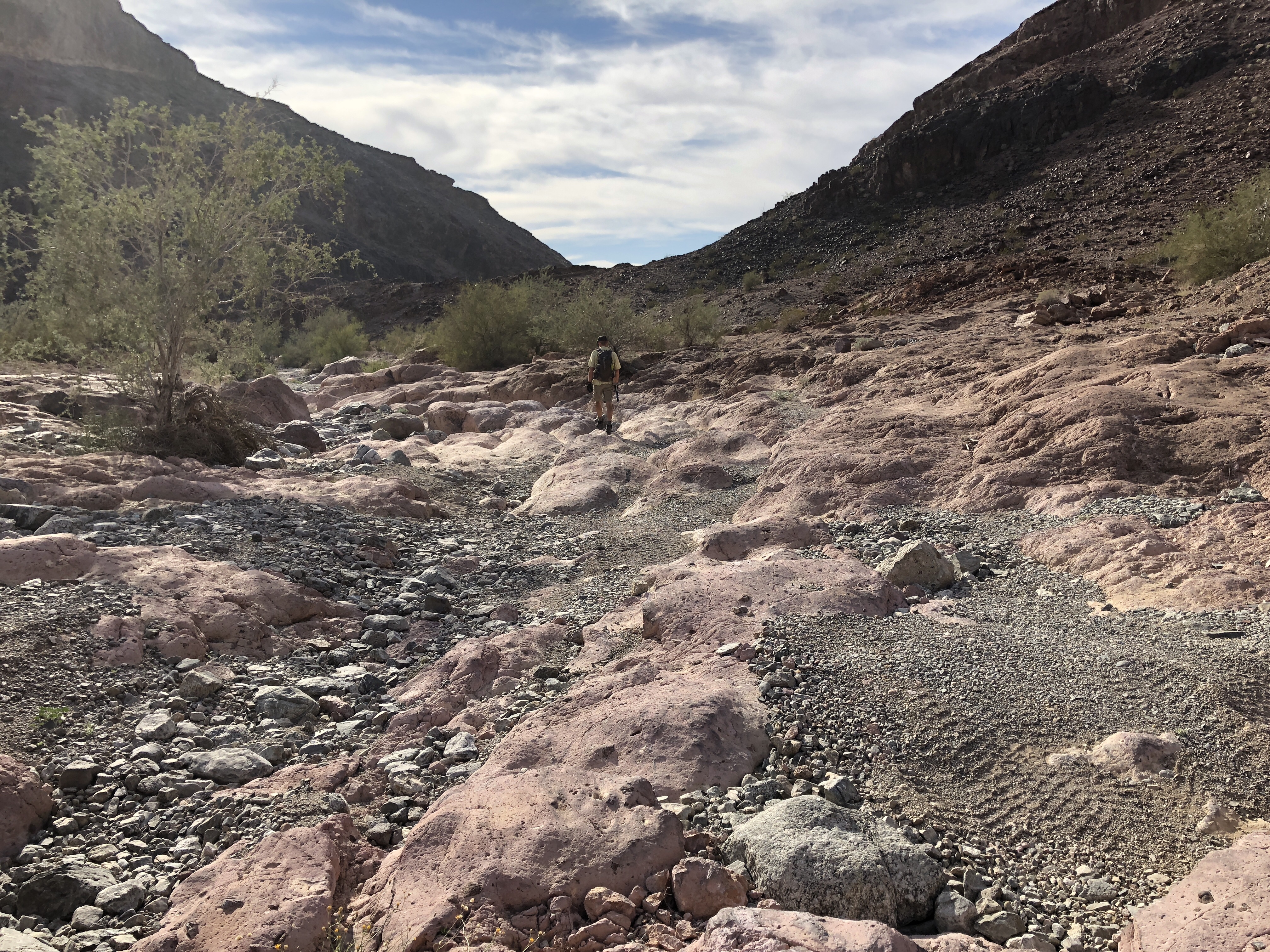


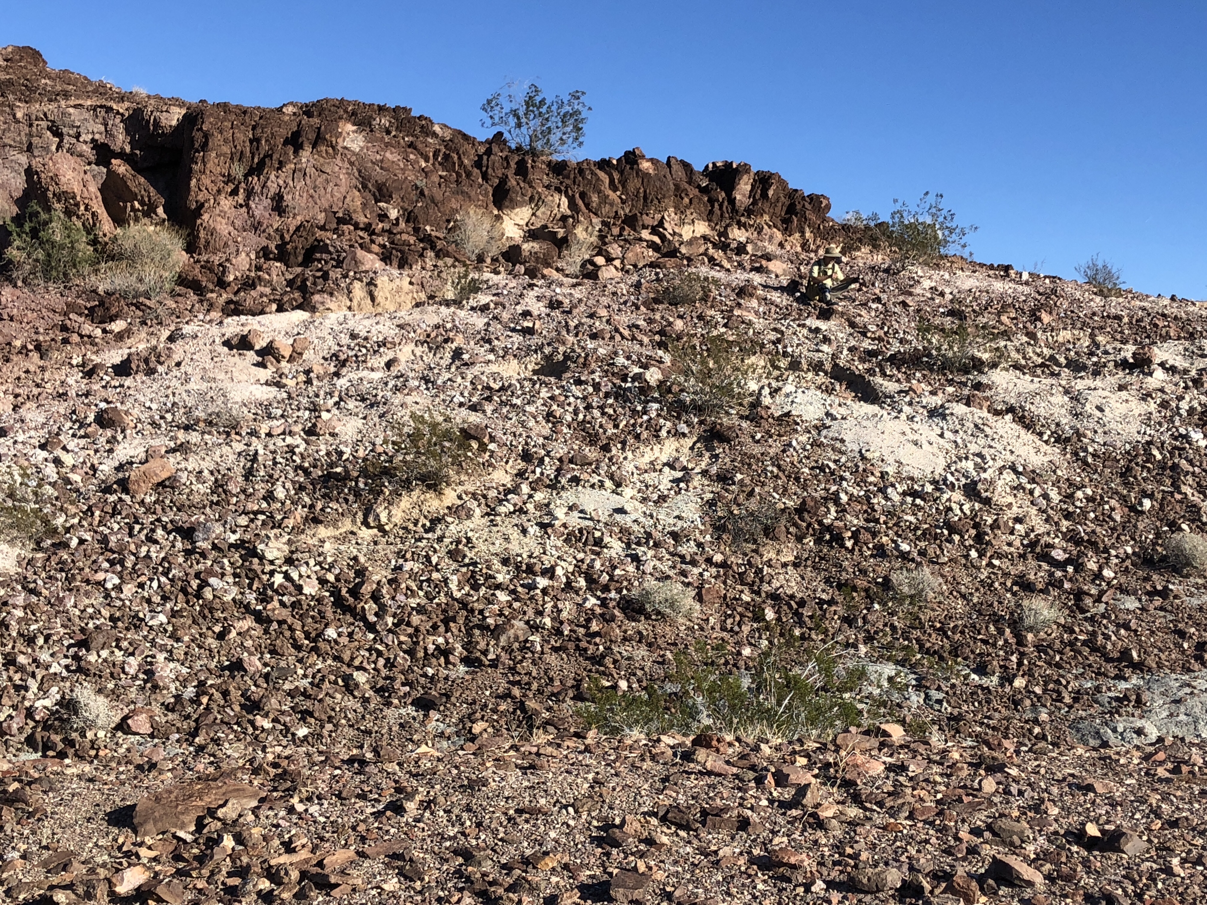


 (even when we find nothing) 🙂 Some days we even lose each other, like yesterday. We have a loose agreement, and walk some distance from each other, and every now and then if we do not see the other we start loud whistling or calling out. Yesterday the wind was loud, so likely took our whistles and yells into the hills. Another game we play is to ask Tucker where the other one is. I kept saying to Tucker, “WHERE IS KEN?”… and he kept looking….


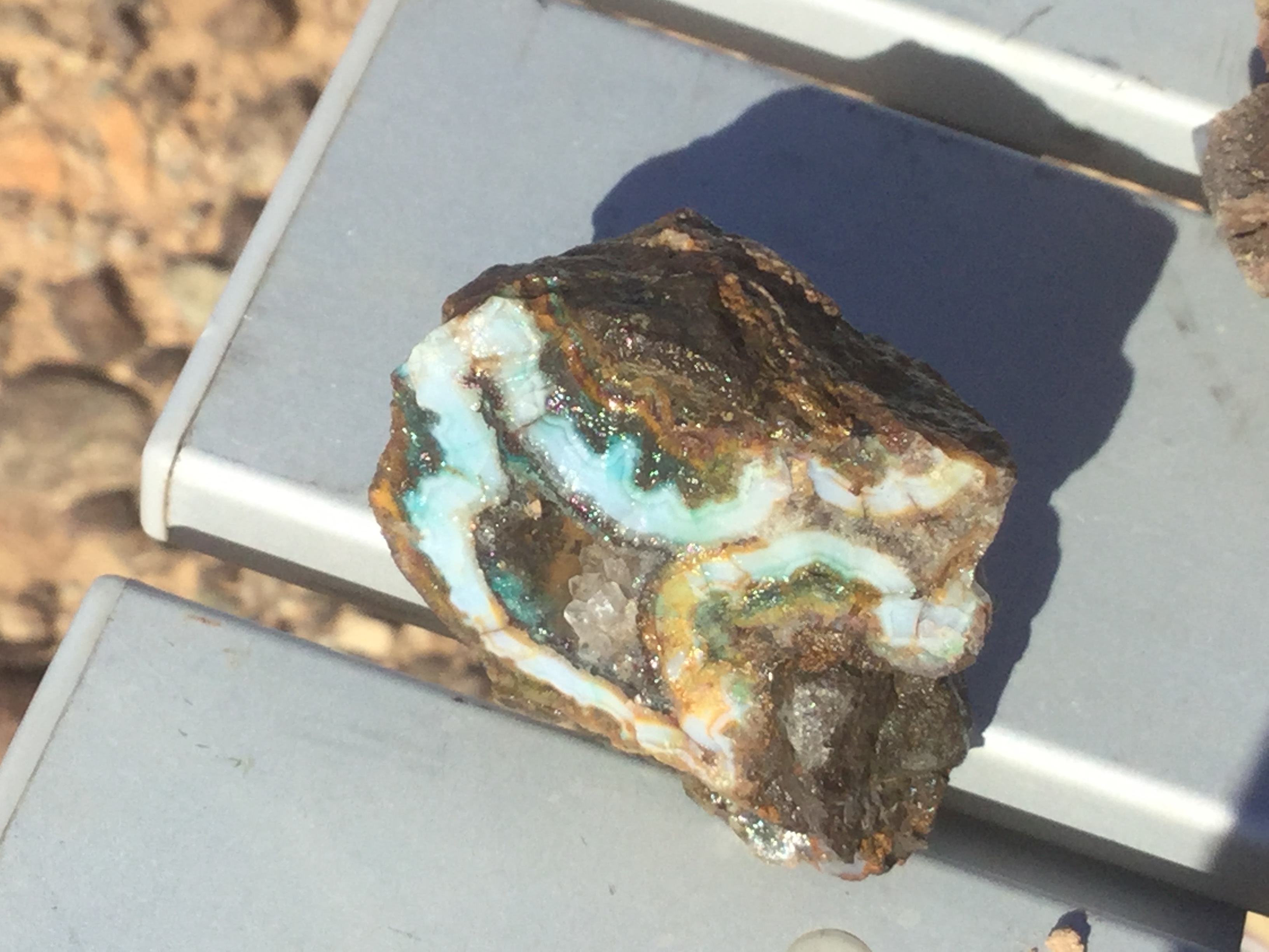
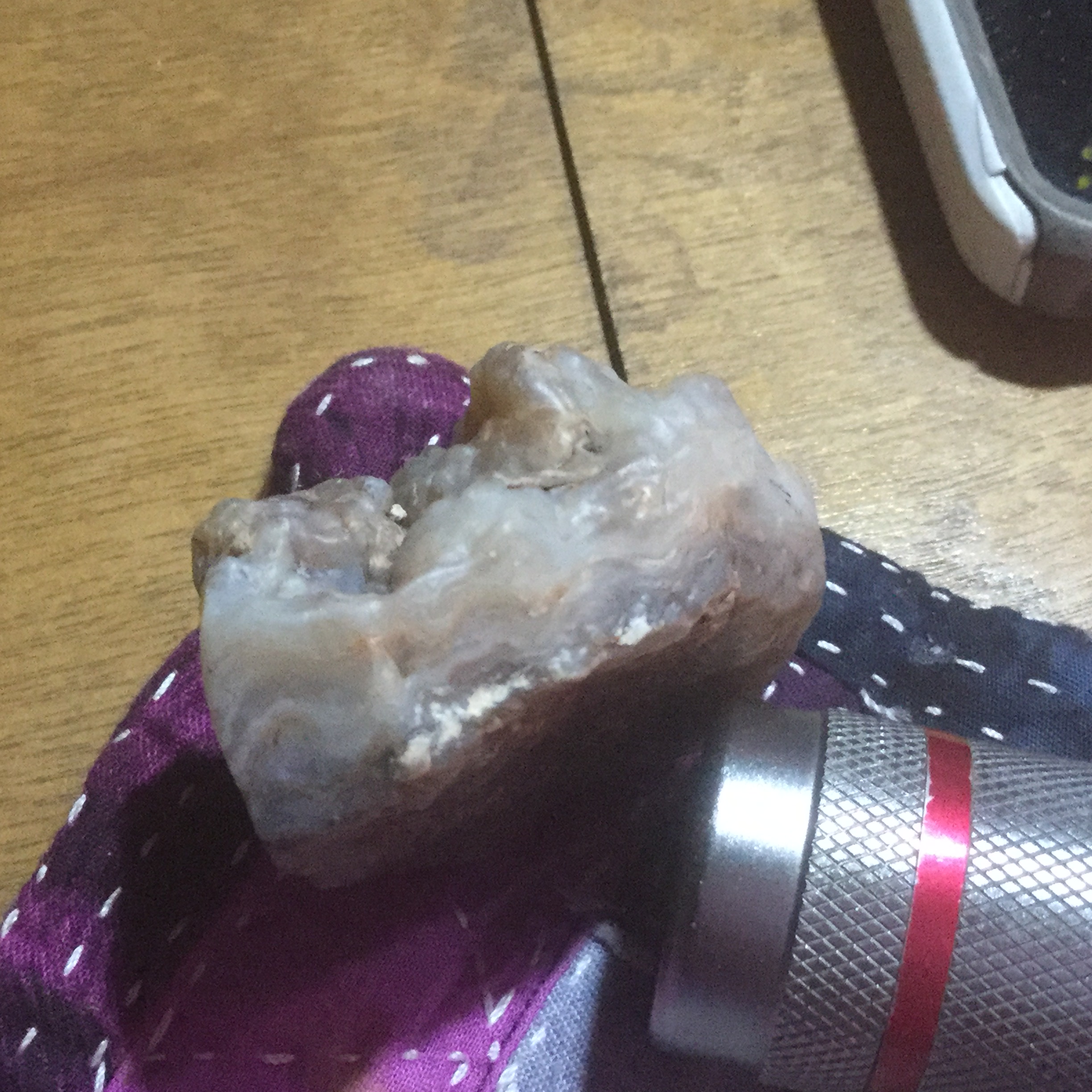
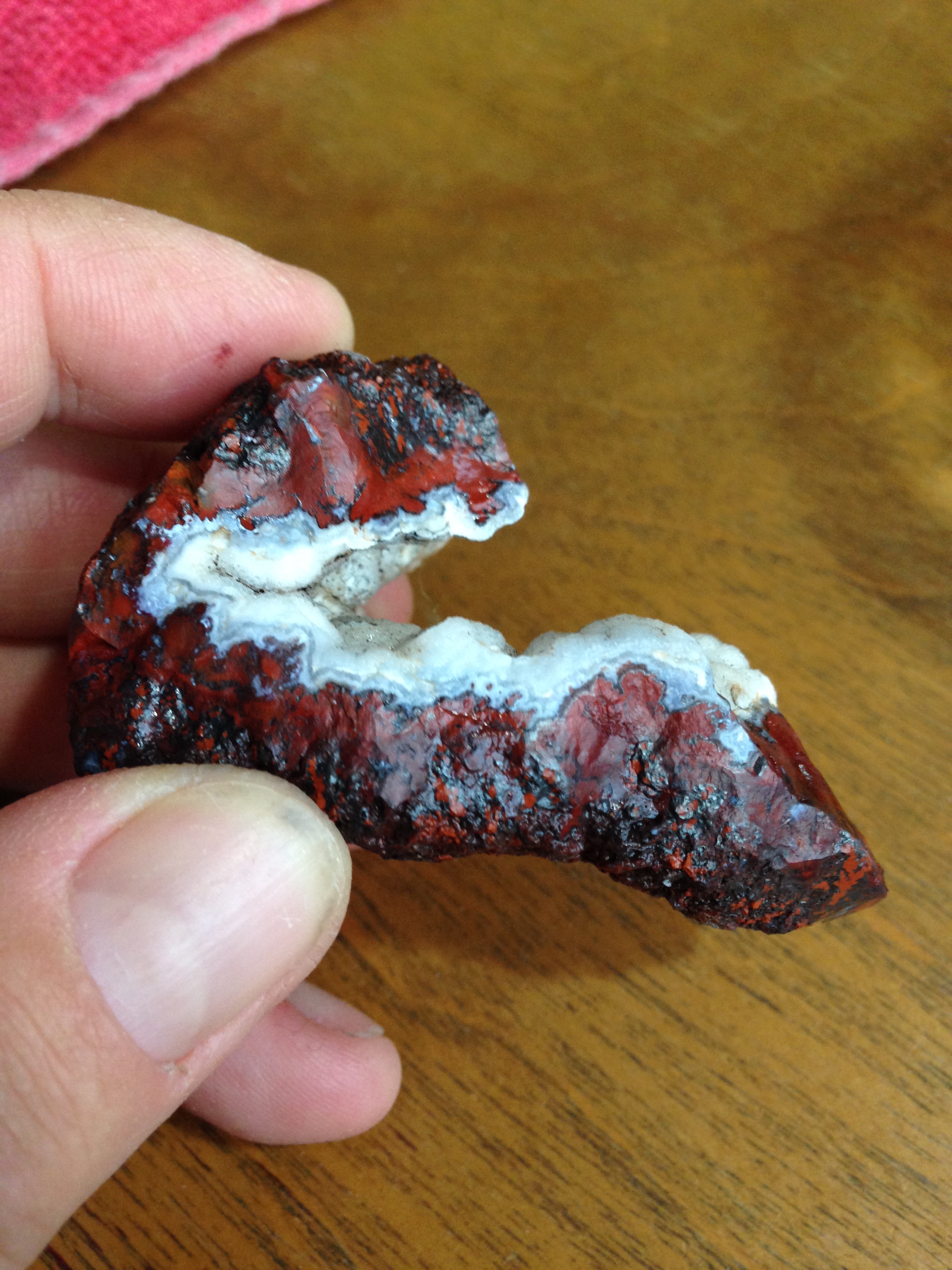
 This is jasper/agate that has formed within a seam (the space between two rocks layers). I should add that these are my interpretations